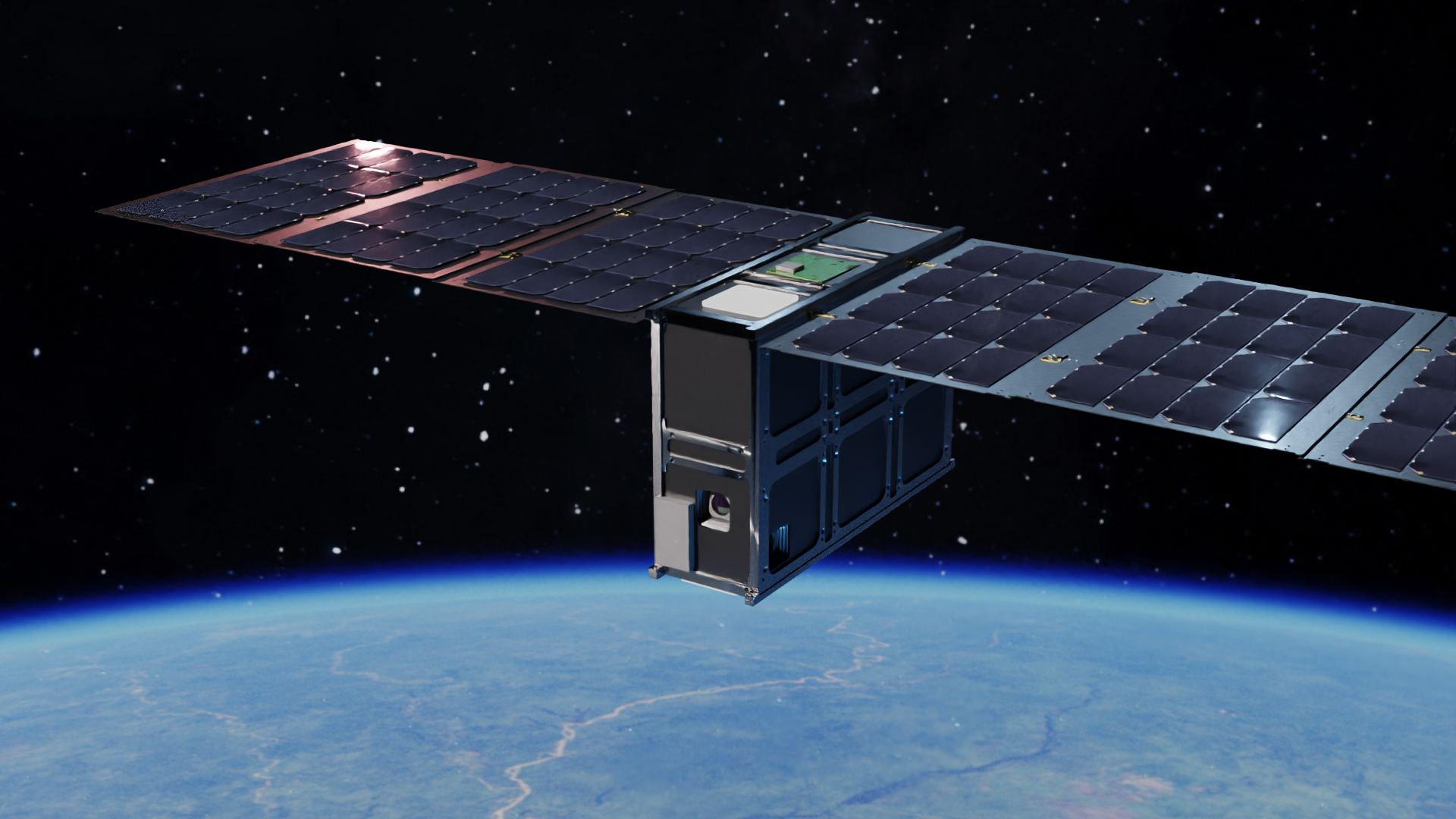
Mission Success for OroraTech's First Thermal Infrared Satellite FOREST-1
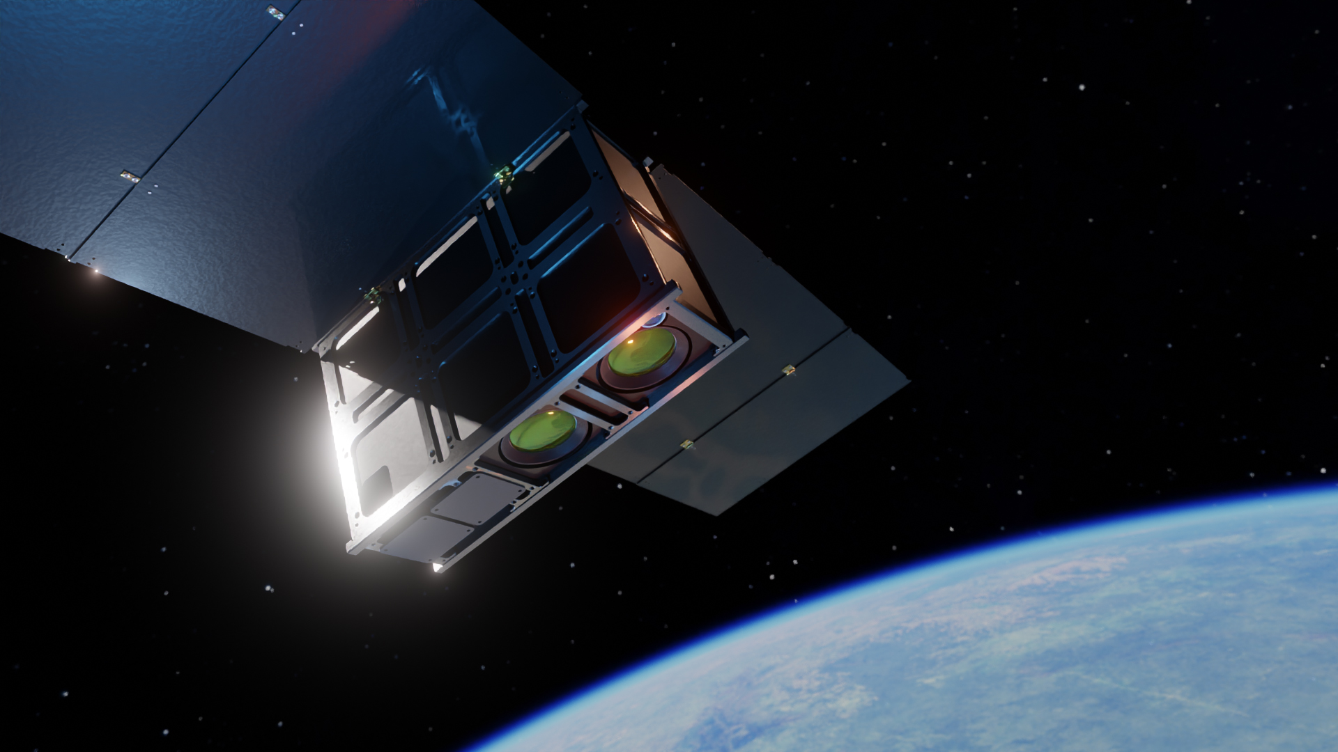
Published on Mon, 20.06.2022 – 18:22 CEST in Downstream, covering OroraTechMunich-based NewSpace Intelligence startup OroraTech has achieved mission objectives for FOREST-1. The Munich-based company's first satellite will be used for environmental monitoring, in particular the detection of forest fires.
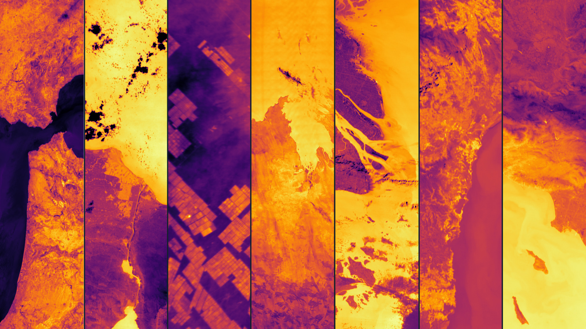
FOREST-1 ist der erste seiner Art, der eine Wärmebildkamera, eine Kamera im mittleren Infrarot und eine Kamera im sichtbaren Bereich in einem kompakten Design kombiniert, welches keine Kühlung benötigt. Außerdem verfügt er über eine Grafikverarbeitungseinheit (GPU) im Weltraum, die zur Verarbeitung der Daten in der Umlaufbahn eingesetzt wird. Danke eines Inter-Satelliten-Modems erreichen Informationen die Erde in Echtzeit. Gestartet wurde FOREST-1 im Januar 2022 im Rahmen der SpaceX-Transporter 3-Mission in Florida, USA.
Wildfires are increasing - also in Germany
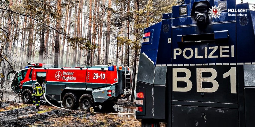
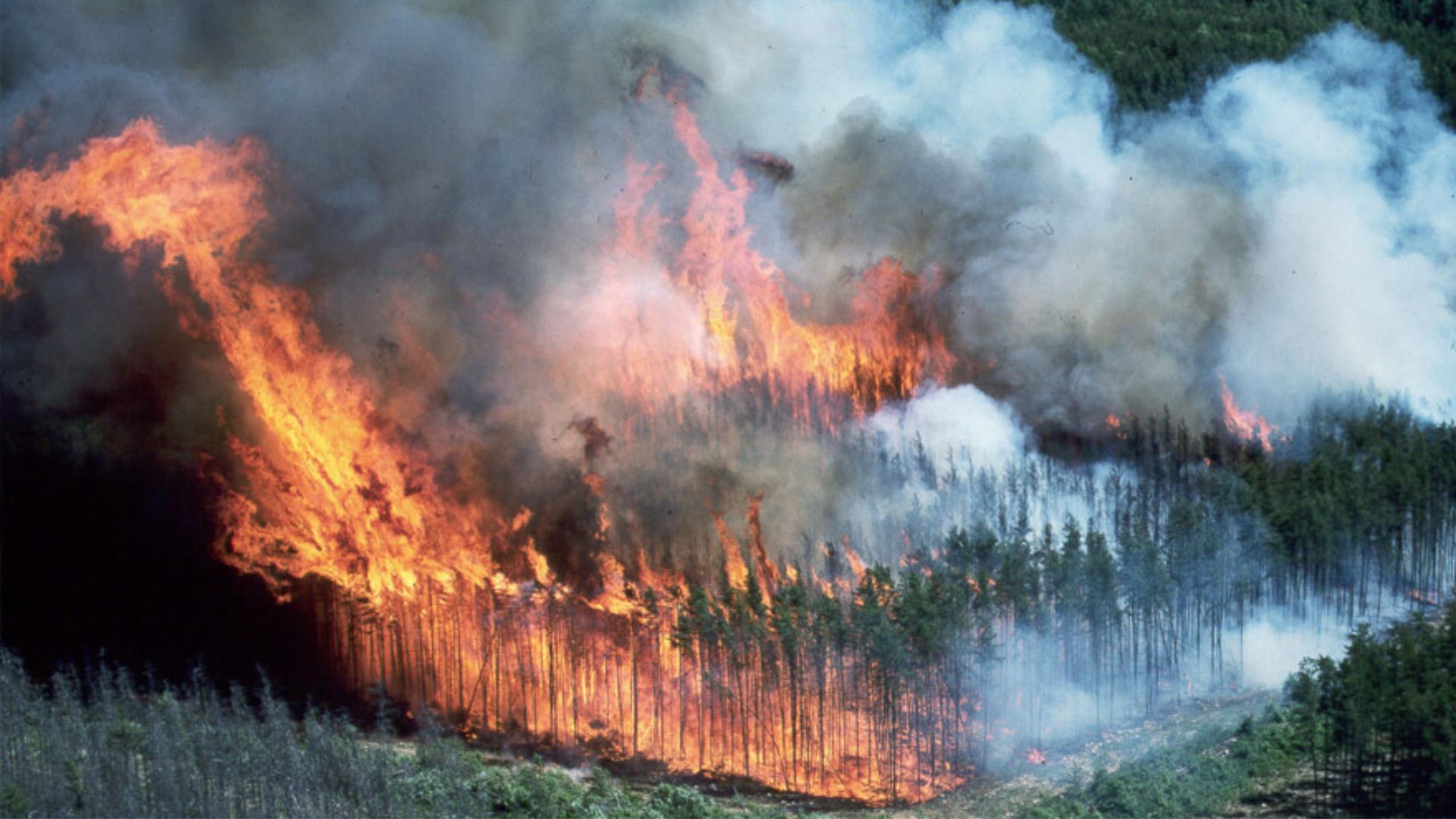
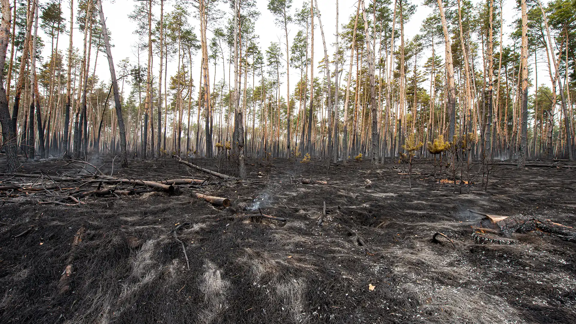
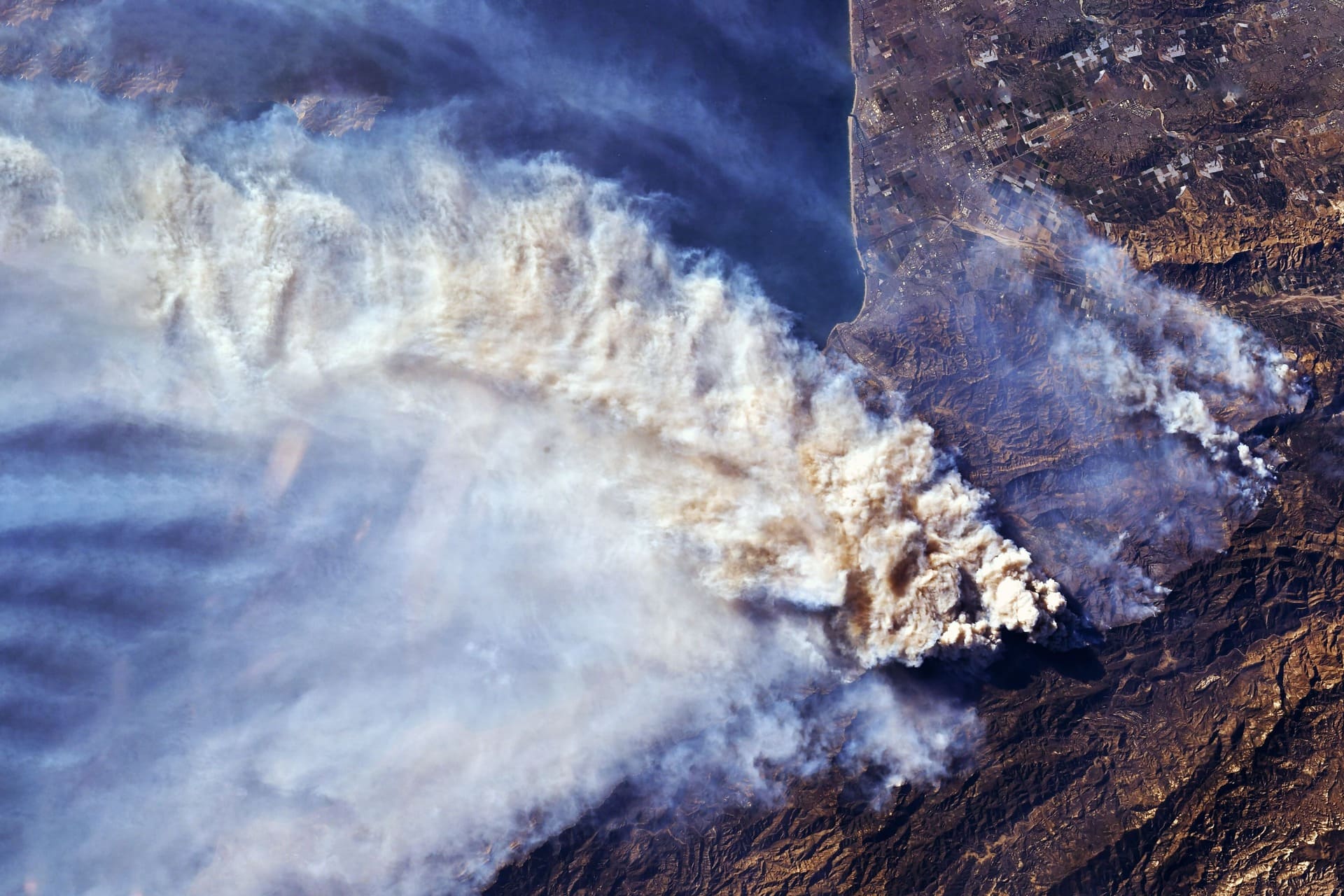
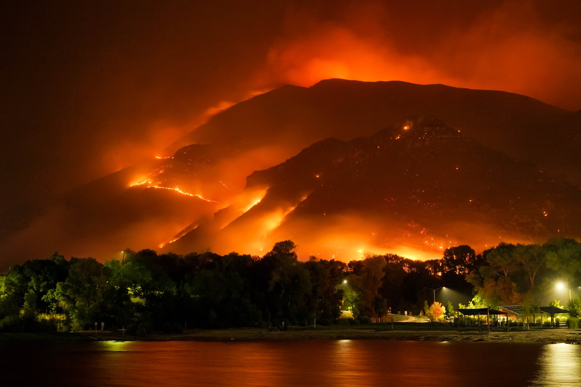
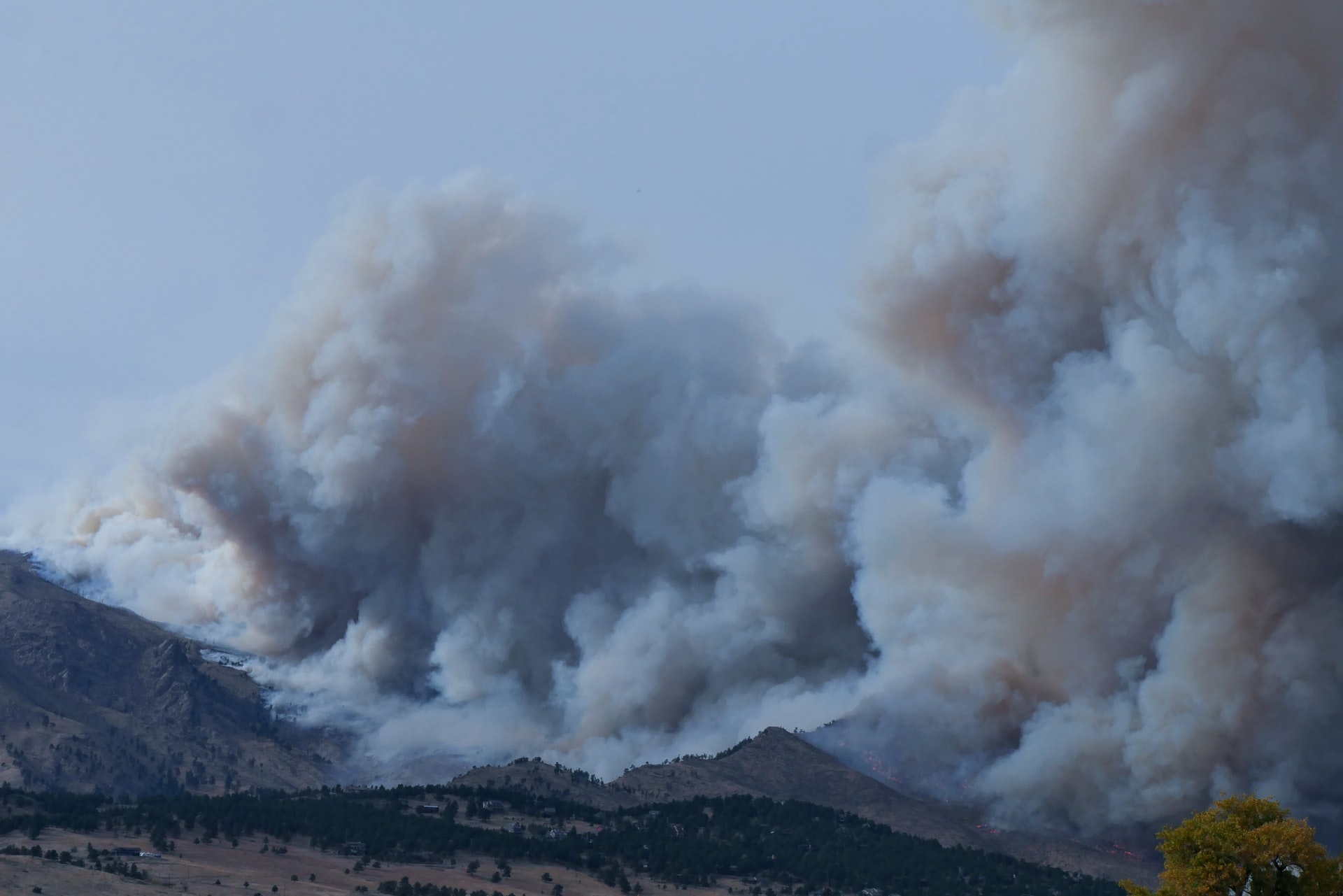
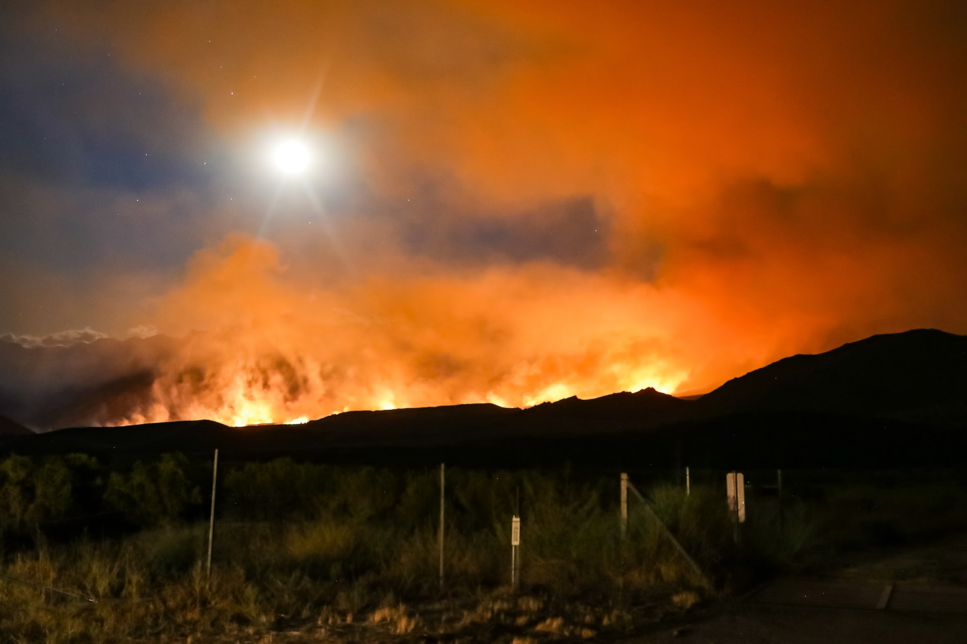
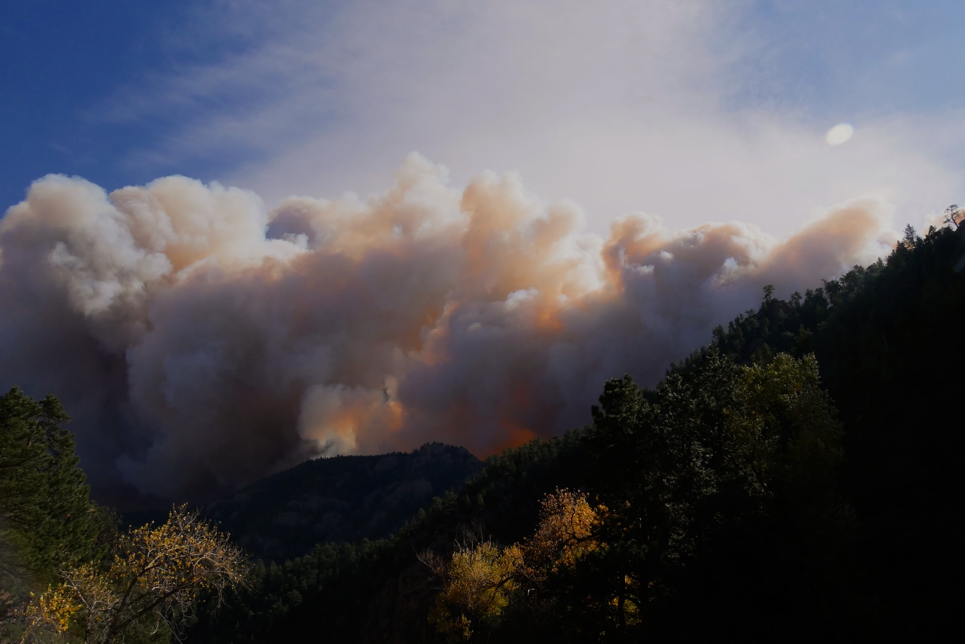
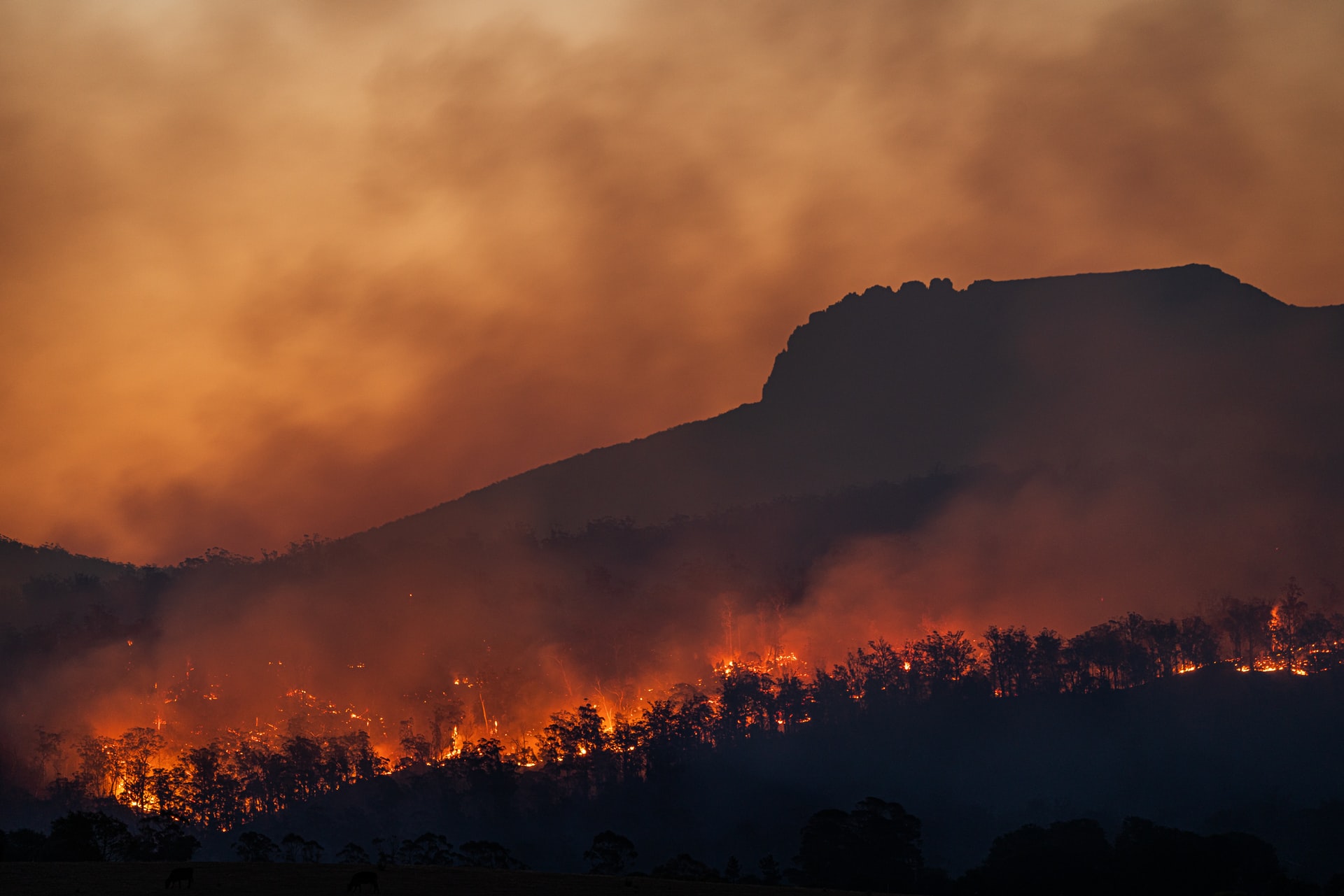
The importance of this technology is demonstrated not least by devastating forest fires in Germany. In the last few days alone, fires destroyed several hectares of forest in the Harz Mountains (Brocken), Brandenburg (Treuenbrietzen) and Saxony (Niesky). Temperatures of almost 40° Celsius over the weekend and the lack of rain for weeks are drying out the soil. In many places, the forest fire danger index is already at danger level 4, and in some places even at danger level 5. All over Germany, firefighters are on alert and monitoring the situation on the ground. They could be helped by technology from space: satellites for earth observation.
Hours of observation gaps with catastrophic consequences
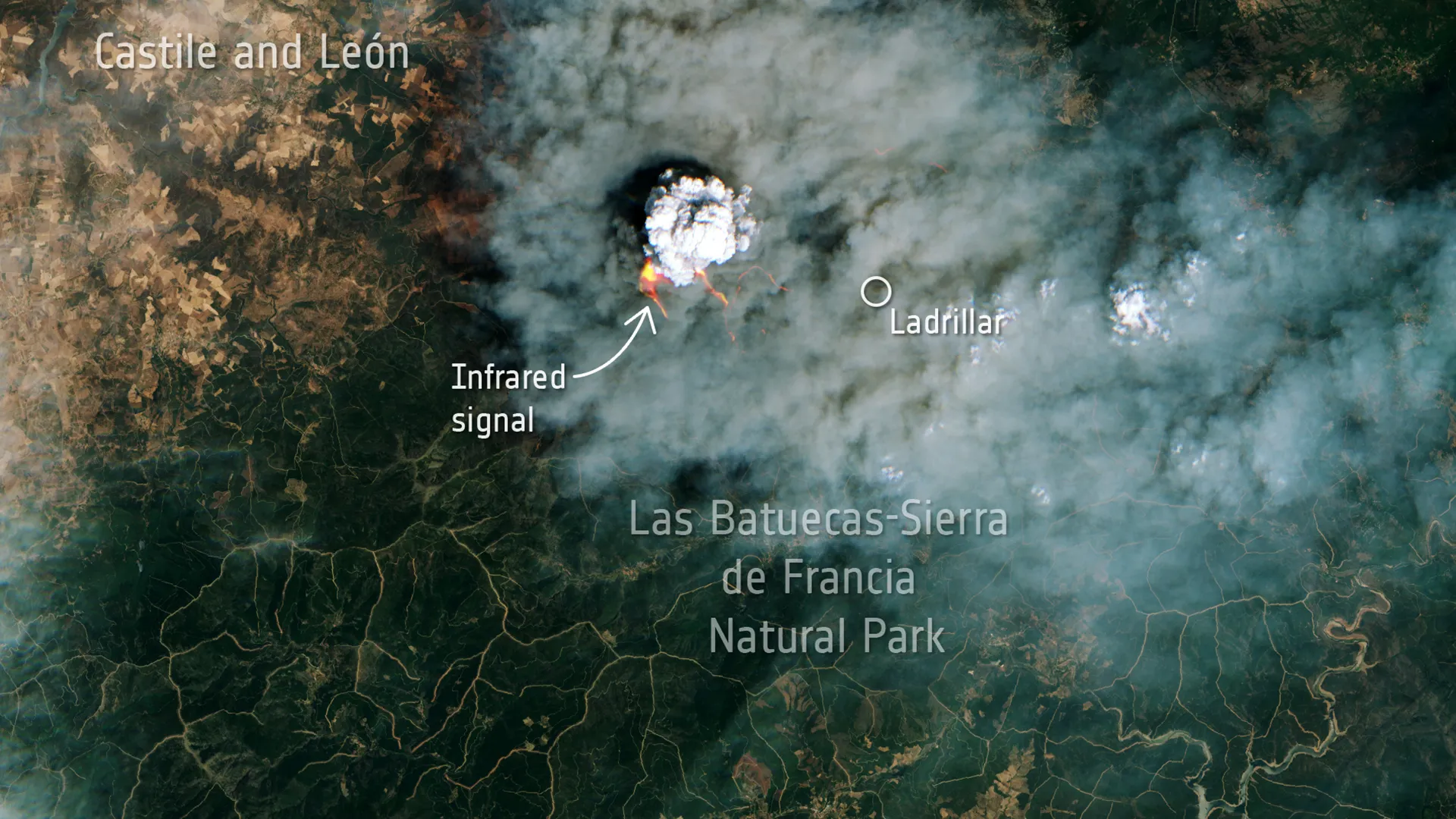
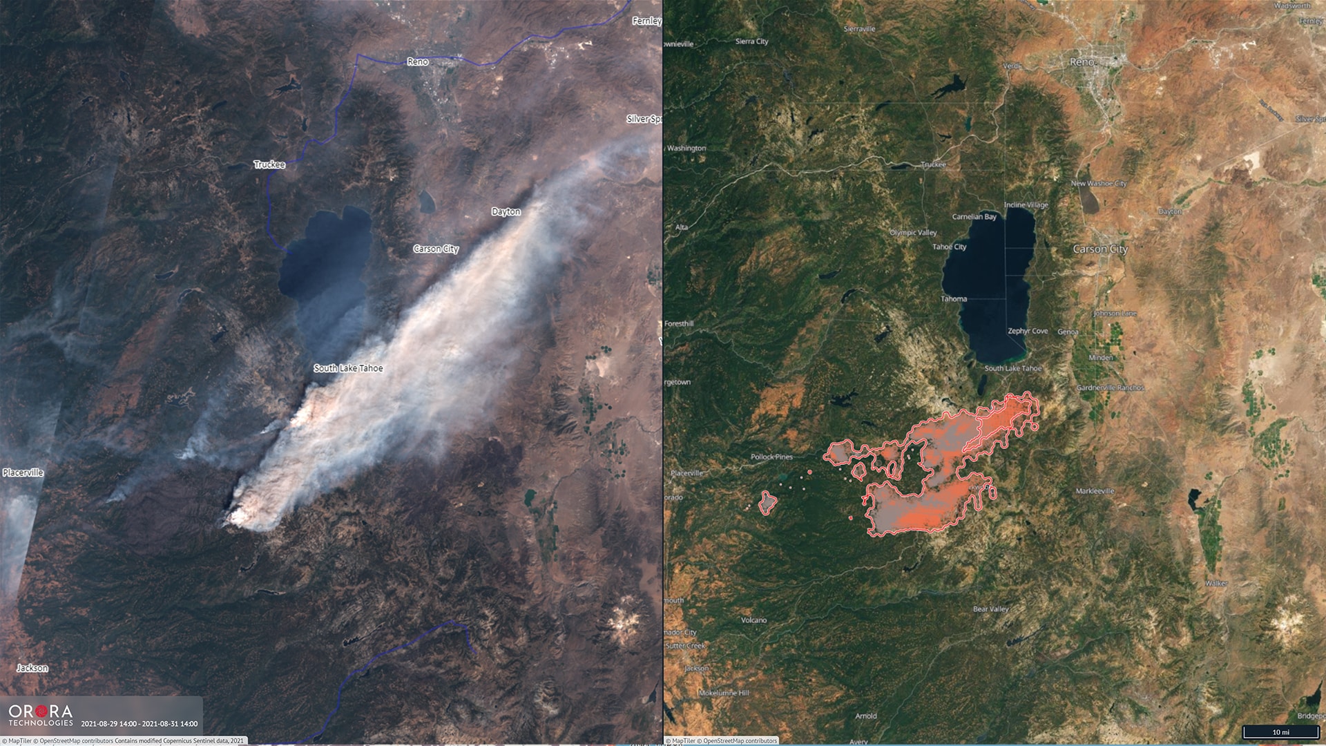
But current satellites in low Earth orbit are inadequate at monitoring wildfires in the afternoon, the prime time for fires. In some cases, eight hours can pass before a satellite can report on a forest fire, which can have disastrous consequences. OroraTech's FOREST-1 breakthrough technology, on the other hand, provides much higher accuracy and faster global coverage while reducing data processing time. In addition, FOREST-1 delivers high-resolution imagery at a much lower cost than before.
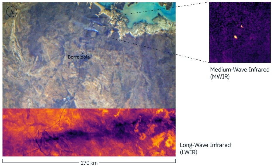
This is an important milestone for the company as our team has proven that thermal-infrared technology on a nanosatellite can outperform existing technology. We will launch the next eight satellites by the end of 2023 that will allow us to serve insights to our customers during peak burn time in the afternoon, where there is currently no data. In the next few years, we will achieve a detection time of 30 minutes worldwide with our entire satellite constellation.
Thomas Gruebler, CEO OroraTech
Own satellite constellation for seamless monitoring
To date, the company has relied on various external satellite data sources for its wildfire intelligence platform. FOREST-1 is the first step toward OroraTech's future fleet of nanosatellites. The technology is highly scalable and will provide cost-effective global coverage with high-resolution temperature measurements. This data will be used to pave the way for improving climate resilience. After all, dealing with climate change requires a seamless flow of information between applications. Not only for early detection of forest fires, but also for monitoring heat trends in urban areas, irrigating agricultural land or accurately tracking carbon emissions.
