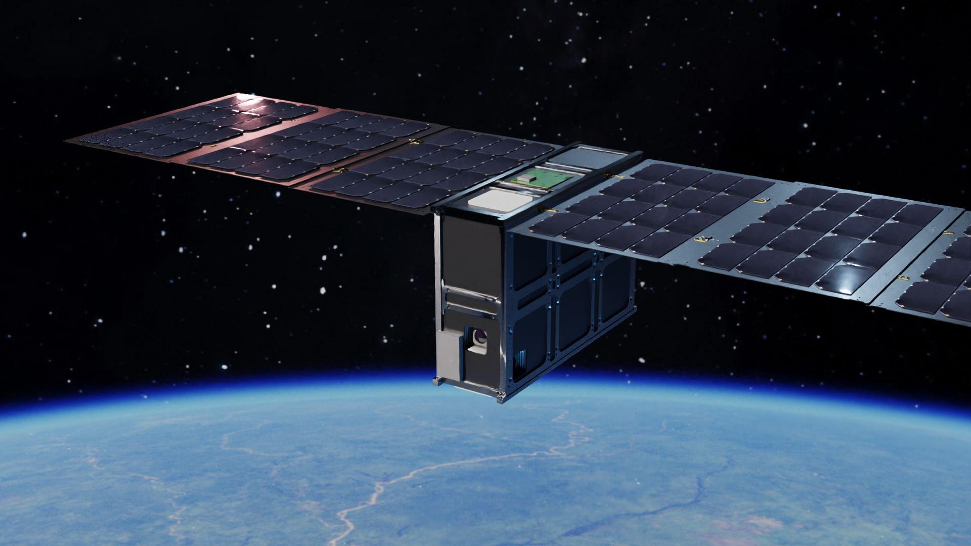
WildFireSat to monitor all of Canada's wildfires
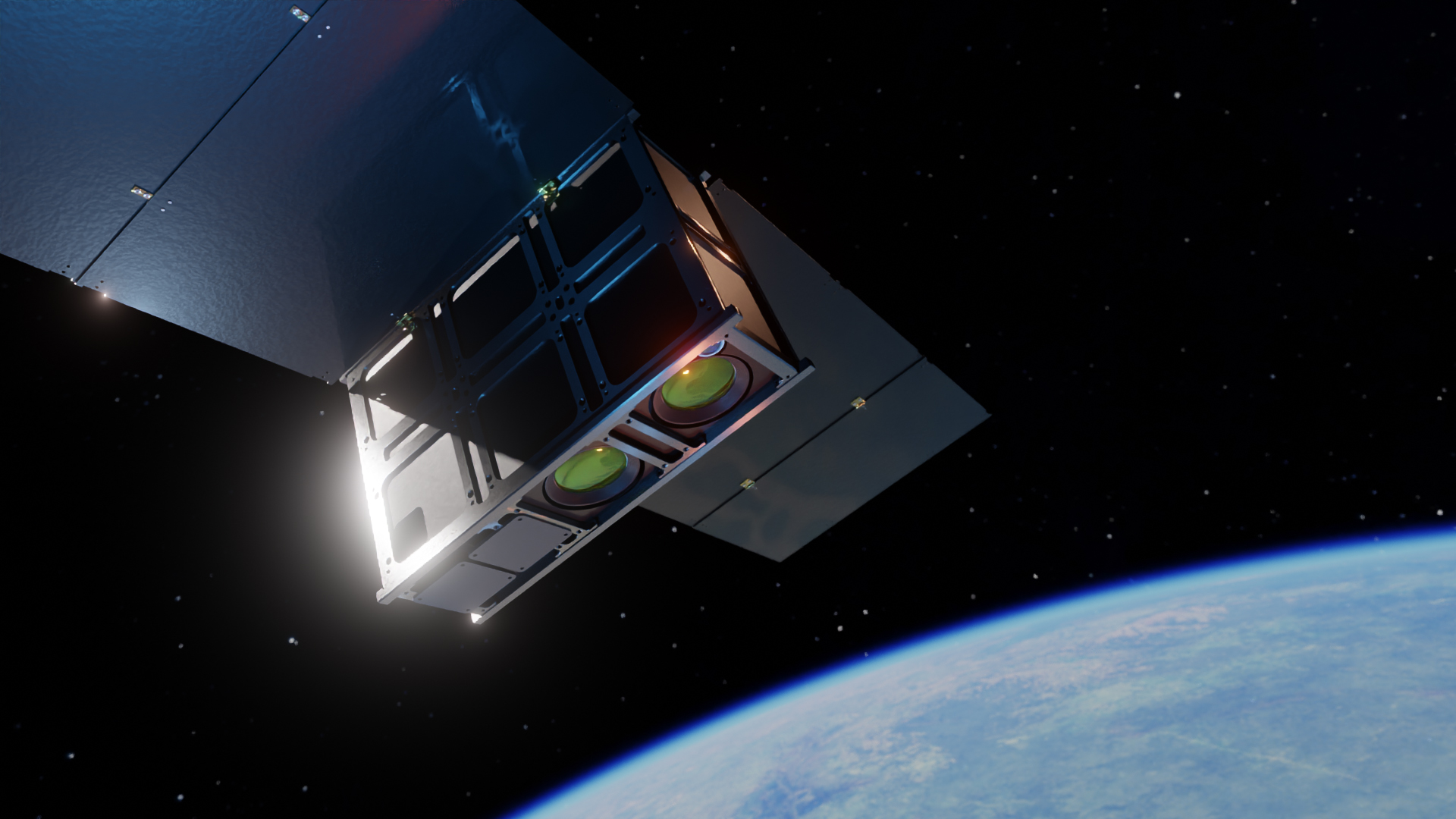
Published on Tue, 09.05.2023 – 15:21 CEST in Downstream, covering OroraTechOroraTech, the global industry leader in space-based thermal intelligence, is partnering with Spire Global to work with the Canadian Space Agency (CSA) to deliver preparatory work for implementation phases of a wildfire monitoring satellite. The contract is the initial step towards building CSA’s planned WildFireSat mission, which aims to monitor all active wildfires in Canada from space on a daily basis.
Tyler Smith, Account Executive of OroraTech Ltd. in Canada: “We are excited to partner with the CSA on their WildfireSat solution. The low-latency thermal data we are offering as a service will provide Canadian wildfire managers with a fast and complete solution for wildfire detection & situational awareness – across the continent, daily, and in real-time.”
“We are delighted to be collaborating with OroraTech on another exciting project, building upon the momentum generated from our previous mission together,” said Frank Frulio, General Manager of Spire Space Services, Spire Global.
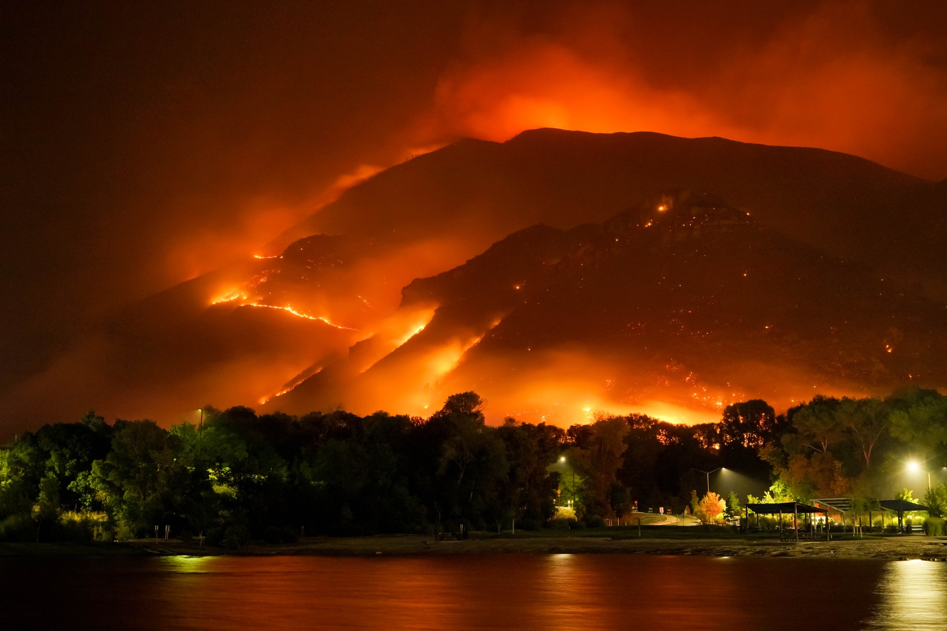
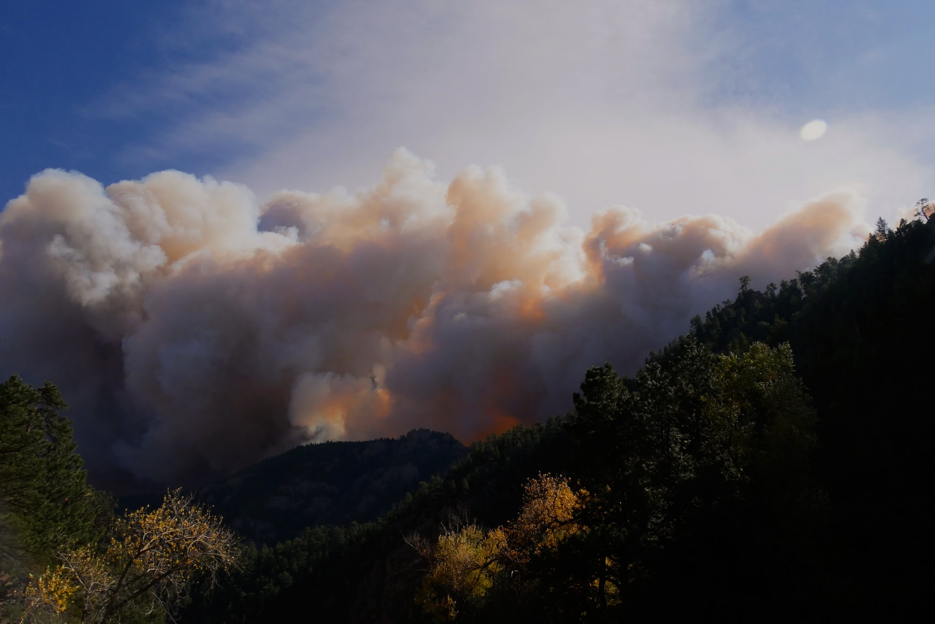
As Canada approaches its peak fire season, which usually spans 13 weeks starting in late May, the need for efficient and reliable wildfire detection solutions has become more pressing than ever. In Canada alone, combatting wildfires requires an annual expenditure of approximately $1 billion, with additional indirect expenses that are significantly higher. To address this environmental hazard and safeguard Canadian lives and jobs, the Canadian government plans to invest 170 million CAD over the next 11 years in a new wildfire monitoring satellite system. This system will provide critical insights to help keep Canadian communities safe by mitigating wildfires and the impacts of wildfire smoke.
WildfireSat: Infrarotbeobachtung aus dem Weltraum gegen Waldbrände auf der Erde

© OroraTech
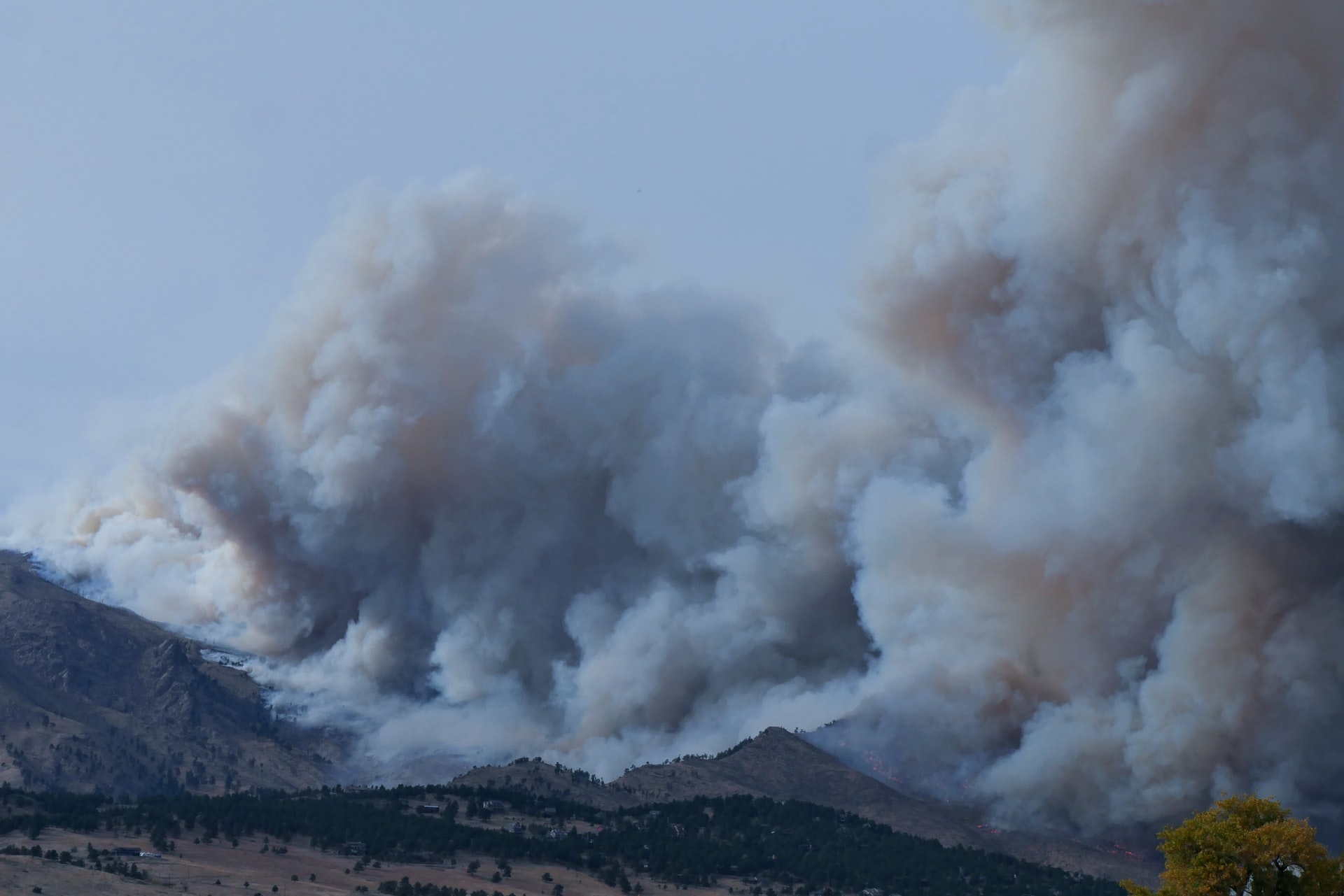
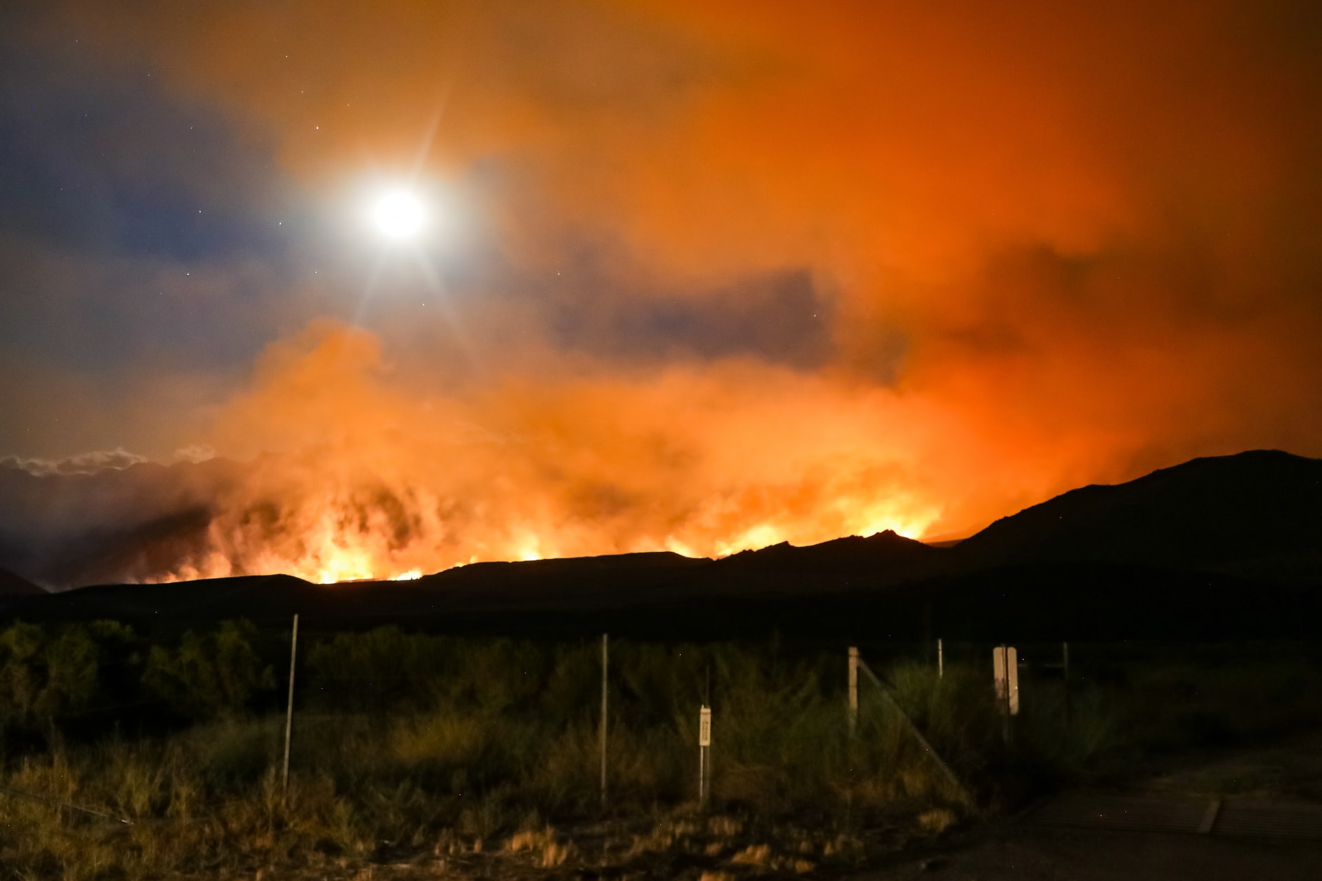
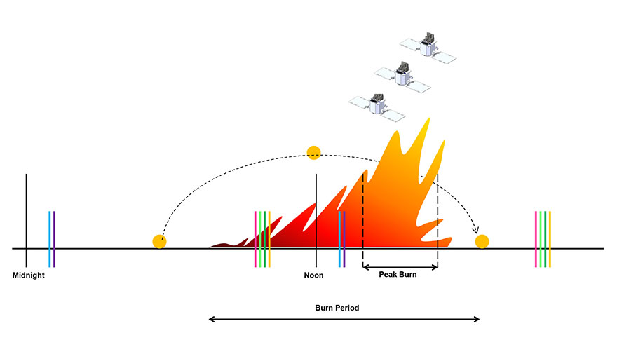
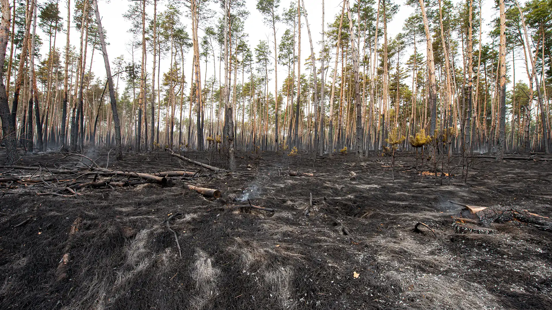
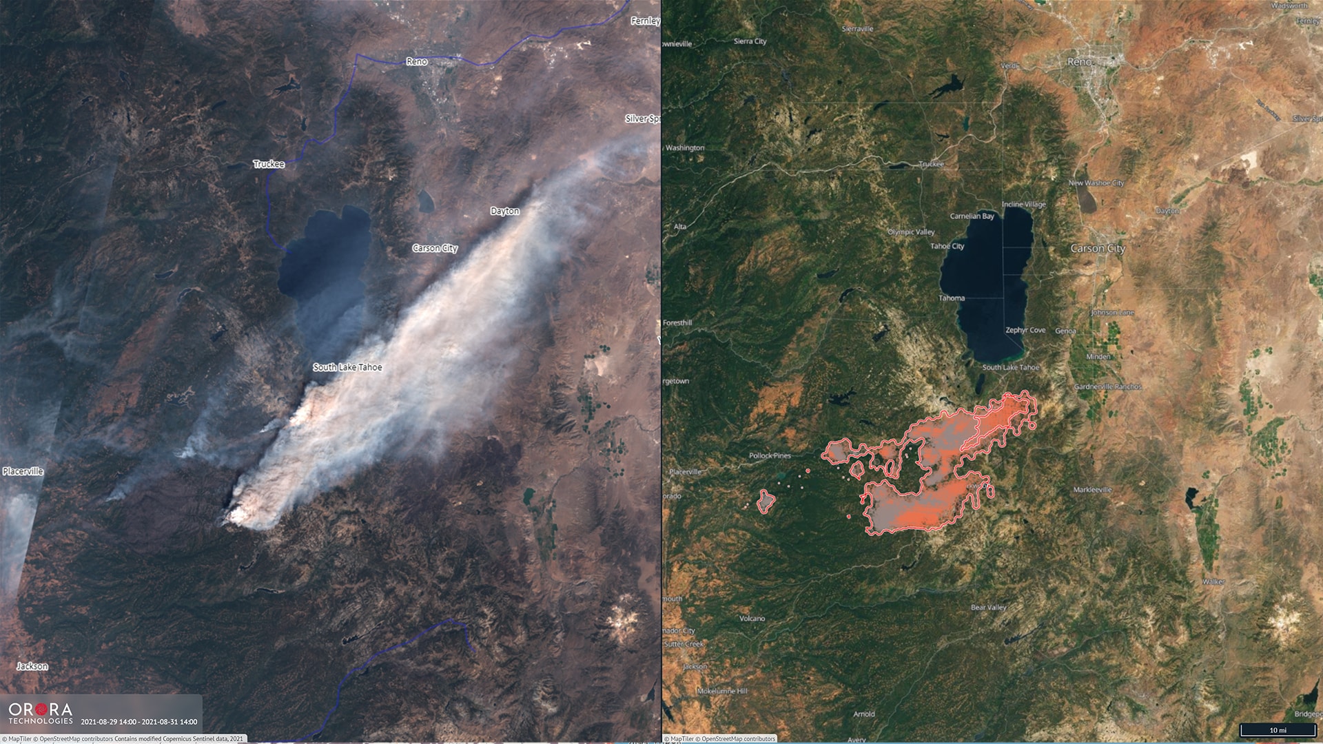
WildfireSat will specifically close the gap in infrared observation from Space, i.e. the late afternoon "peak burn period." In this most critical time of the day, higher temperatures, lower humidity and strong winds often result in a rapid propagation of wildfires.
© Canadian Forest Service (CFS)
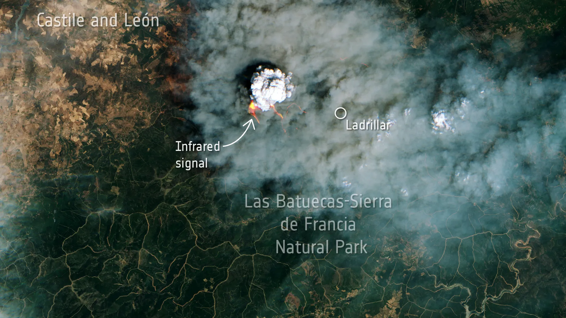
Dr. Axel Roenneke, Chief Commercial Officer, OroraTech: “Canada is the first country investing in a dedicated solution for Wildfire monitoring from Space. Our system will help reduce Carbon emissions and improve air quality – with an economic impact of billions of dollars every year. How valuable our sensor data is, was demonstrated during the Chile fires earlier this year. And with a commercial service approach, our Canadian consortium can deliver actionable intelligence to the Canadian community fast.”

New CCO: OroraTech strengthens management team and continues growth
OroraTech implementiert "Burnt Area"-Feature
OroraTech achieves breakthrough in wildfire detection
OroraTech expands Series A round by €15m

Bjoern Stoffers (OroraTech) withdraws from operational business
OroraTech accelerates development of its FOREST satellite constellation
Mission Success for OroraTech's First Thermal Infrared Satellite FOREST-1
InCubed co-funding from ESA for OroraTech