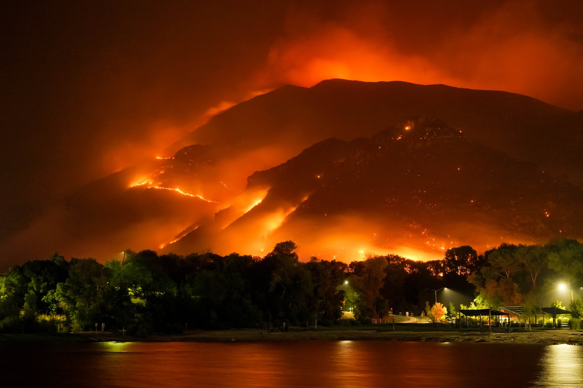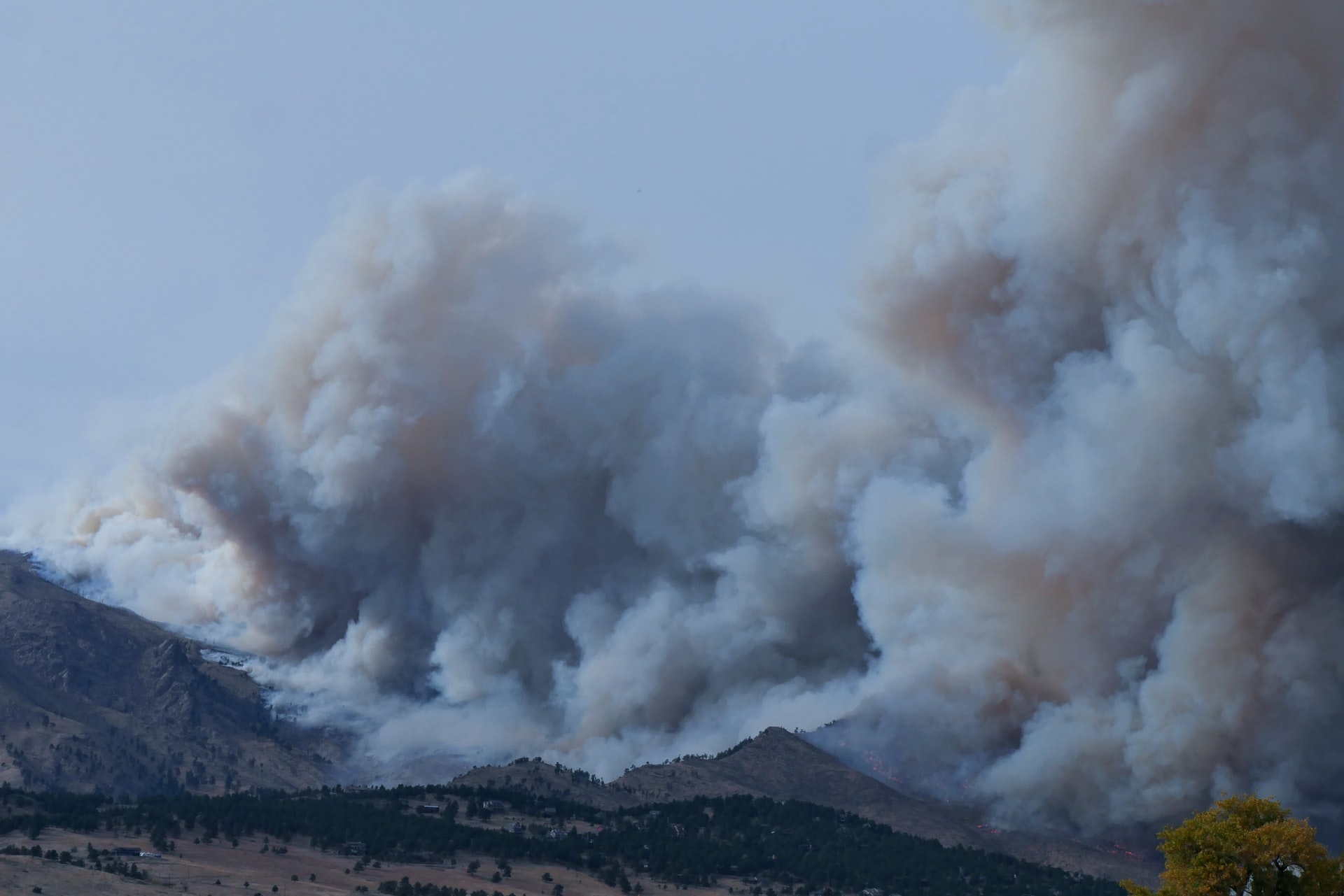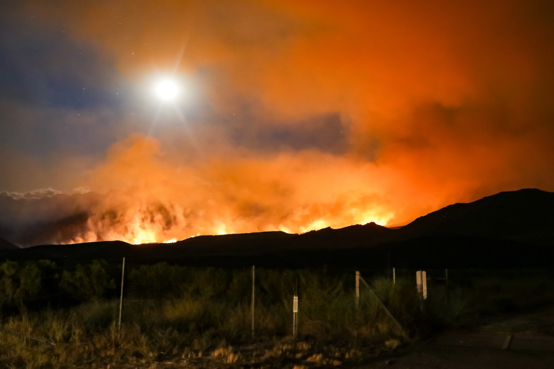
OroraTech implements "Burnt Area"-Feature
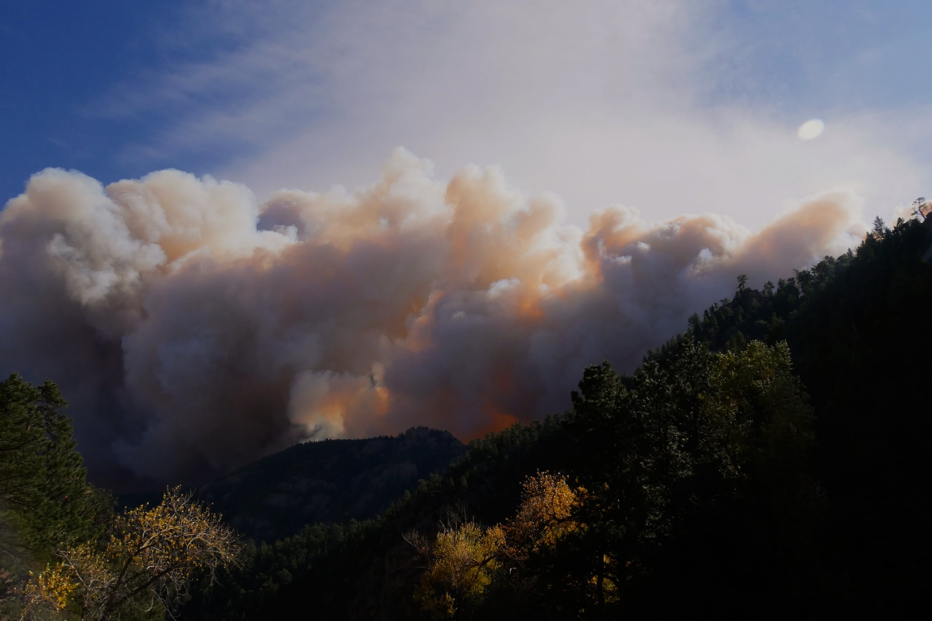
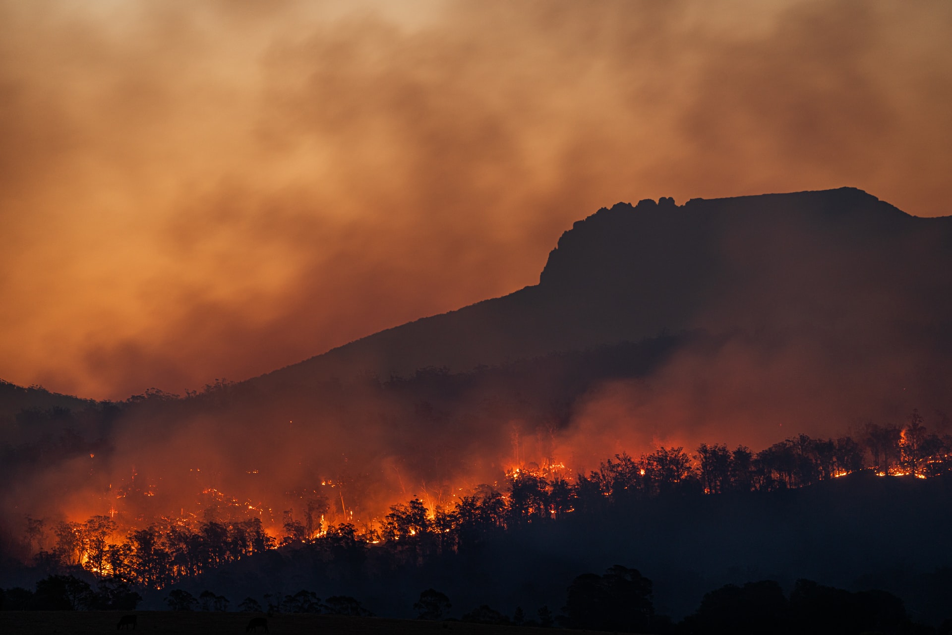
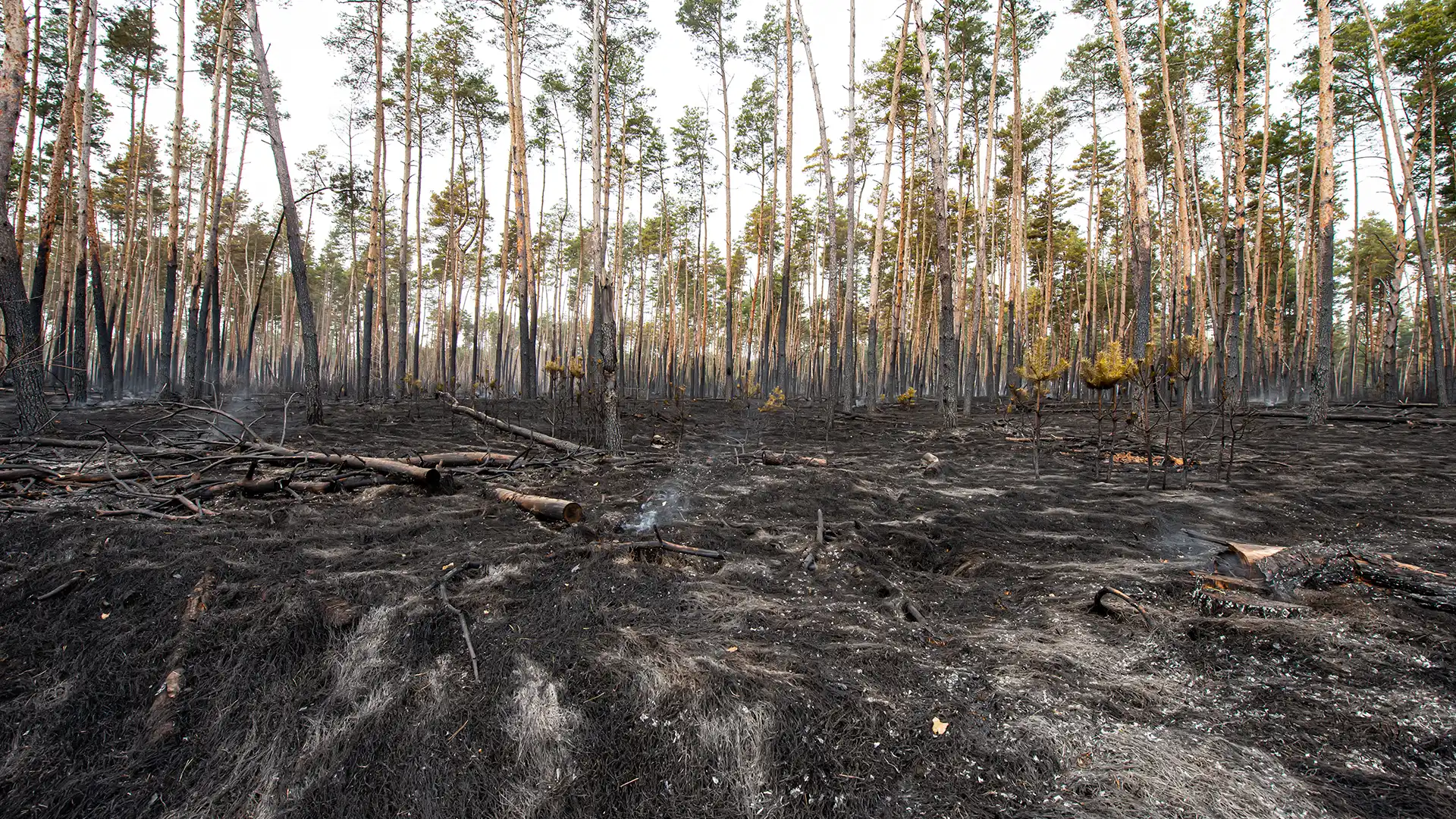
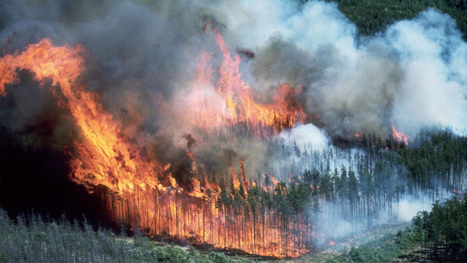
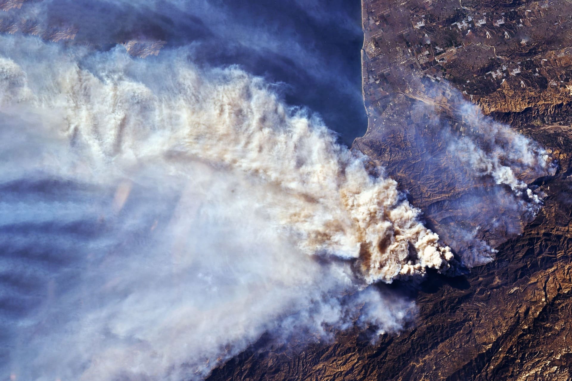
Published on Thu, 23.02.2023 – 14:03 CET in Downstream, covering OroraTechWildfires have an enormous impact on climate change. The damage they cause can be devastating and long-lasting. Effective management and recovery requires a thorough understanding of the affected area and the extent of the destruction. With Burnt Area Mapping on the Wildfire Solution platform, OroraTech now provides a comprehensive assessment of wildfire impacts.
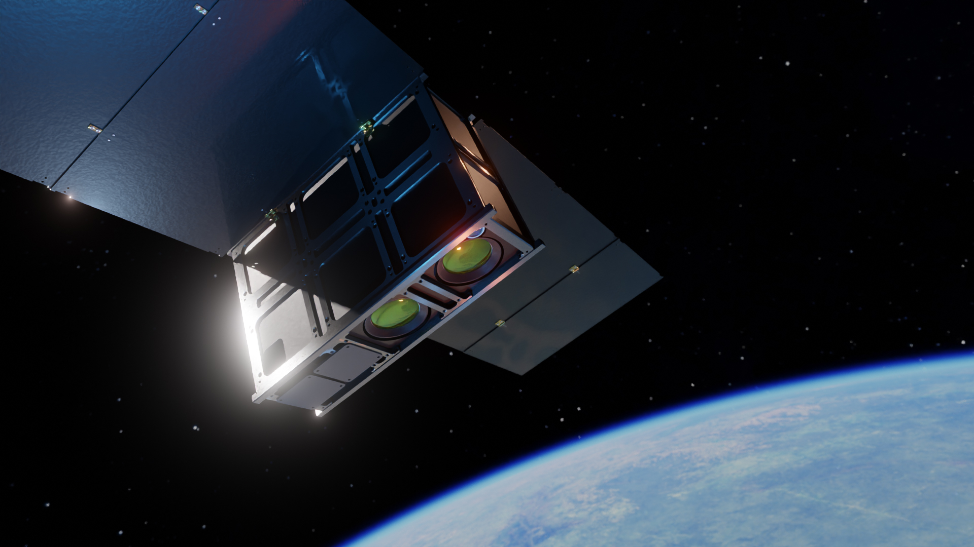
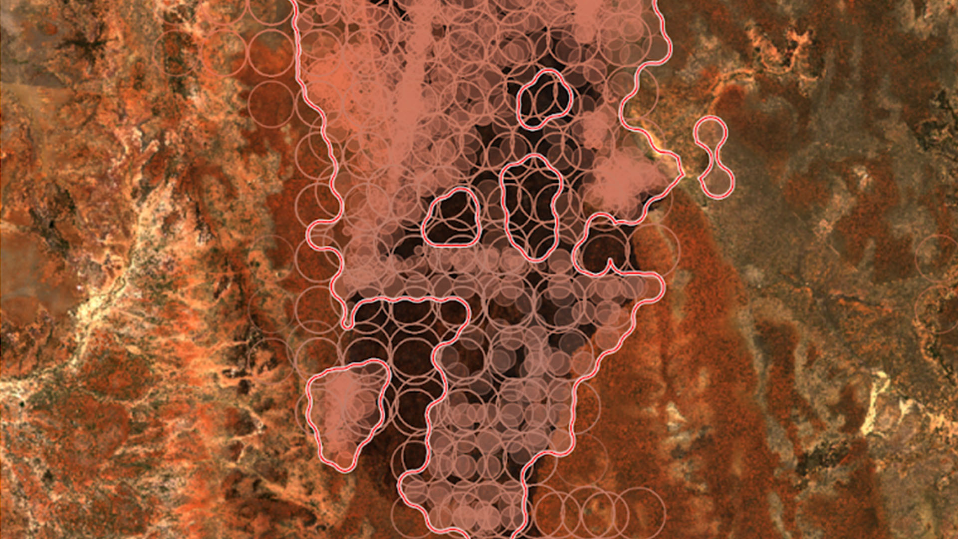
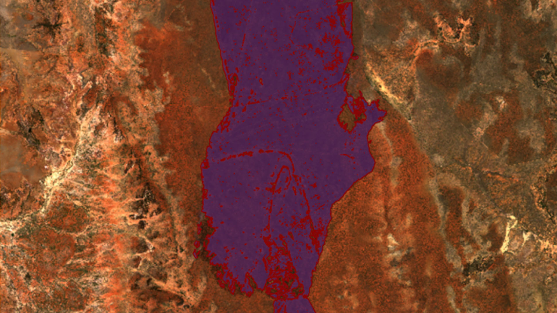
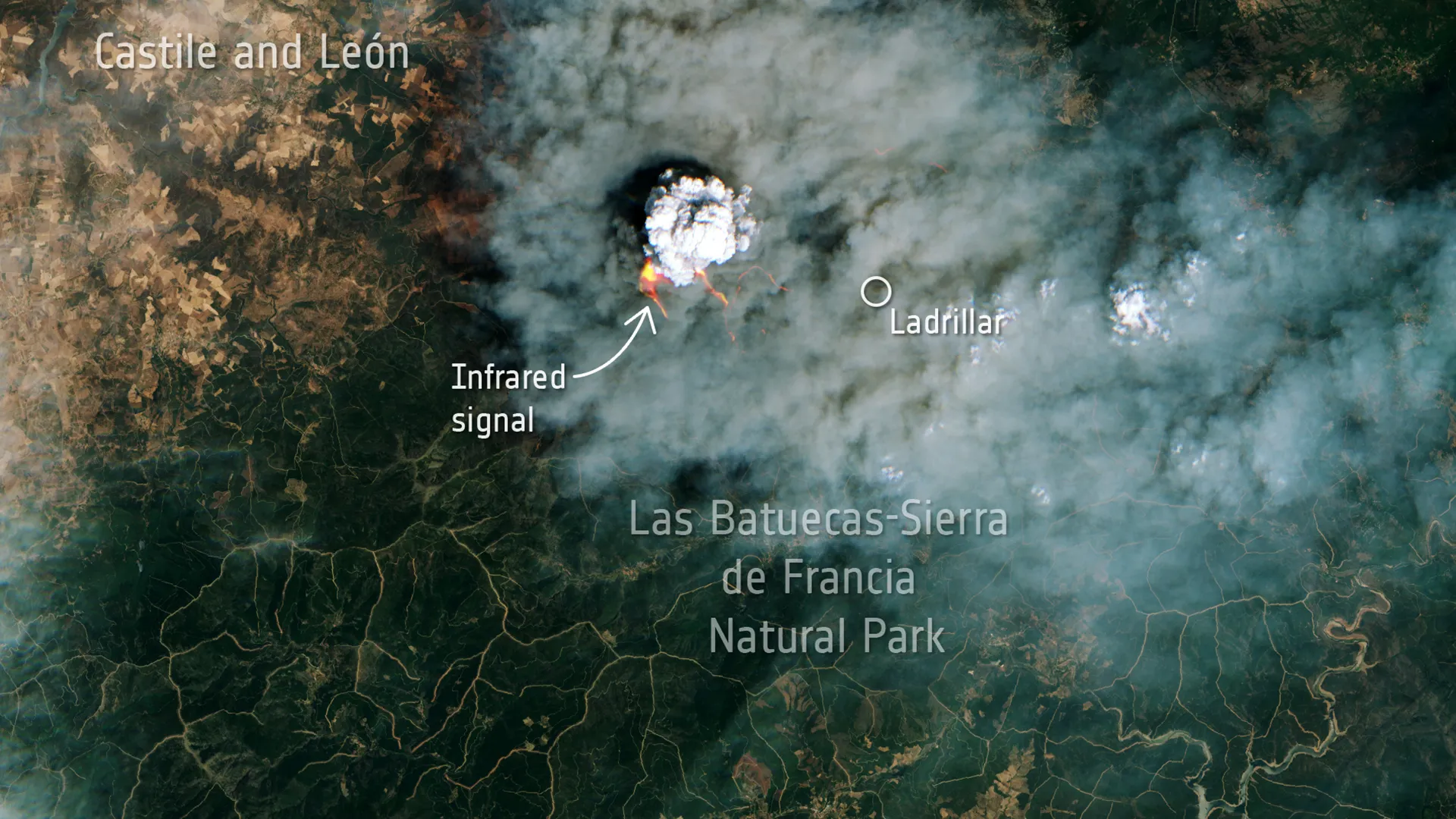
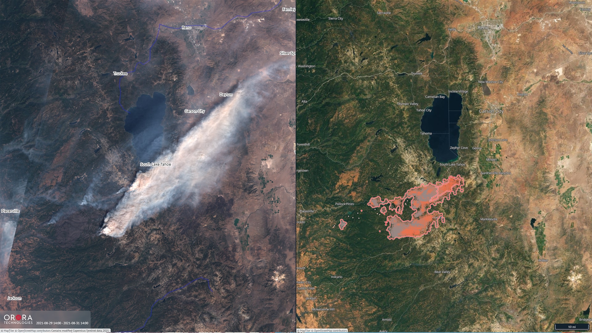
In mid-February 2022, OroraTech announced a breakthrough in the early detection of forest fires. Now NewSpace, a Munich-based company, is following suit by providing information about the areas destroyed by wildfires in its software. This is made possible by combining high-resolution data from the Sentinel-2A, Sentinel-2B, Landsat-8 and Landsat-9 satellites. To detect burned areas, OroraTech analyzes the change in the Normalized Burn Ratio (NBR), a spectral index that can be used to identify vegetation and charcoal. Once a potential burn area is identified, it undergoes a series of tests.
This corrects for atmospheric effects and homogenizes data from Sentinel-2, Landsat-8 and Landsat-9. Once potentially burned areas are identified, cloudy pixels are removed and burned areas are mapped and verified. This process is designed to prevent false detections, such as those caused by recently cleared forests or harvested fields. The remaining areas are then ranked by severity and made available in the application.
"Burnt Area" compared to "Active Fire"
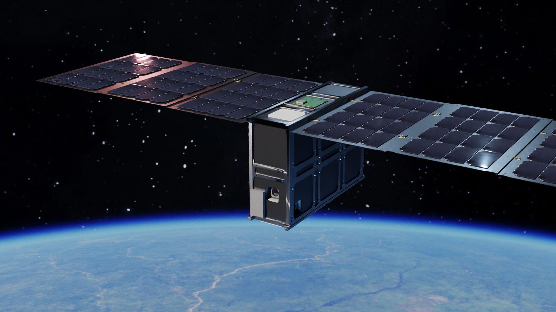
The information is based on extensive data sets of active fires that OroraTech has collected over the past four years. The company uses sensors with varying degrees of resolution, ranging from 10 meters per pixel for satellites in low Earth orbit to 2 kilometers for satellites in geostationary orbit. This makes it possible to analyze a 10-by-10-meter area, which is of interest to several industries. Forest managers, for example, can use the capability to determine which trees have been affected and assess the extent of topsoil damage. The insurance industry can gain detailed insight into claims based on the extent of the affected area and validate customer claims. The agricultural industry can evaluate the amount of biomass lost and assess the impact on specific habitats, including expected recovery time.
WildFireSat to monitor all of Canada's wildfires

New CCO: OroraTech strengthens management team and continues growth
OroraTech achieves breakthrough in wildfire detection
OroraTech expands Series A round by €15m

Bjoern Stoffers (OroraTech) withdraws from operational business
OroraTech accelerates development of its FOREST satellite constellation
Mission Success for OroraTech's First Thermal Infrared Satellite FOREST-1
InCubed co-funding from ESA for OroraTech