OroraTech successfully launches "Thermometer of Planet Earth" with SpaceX
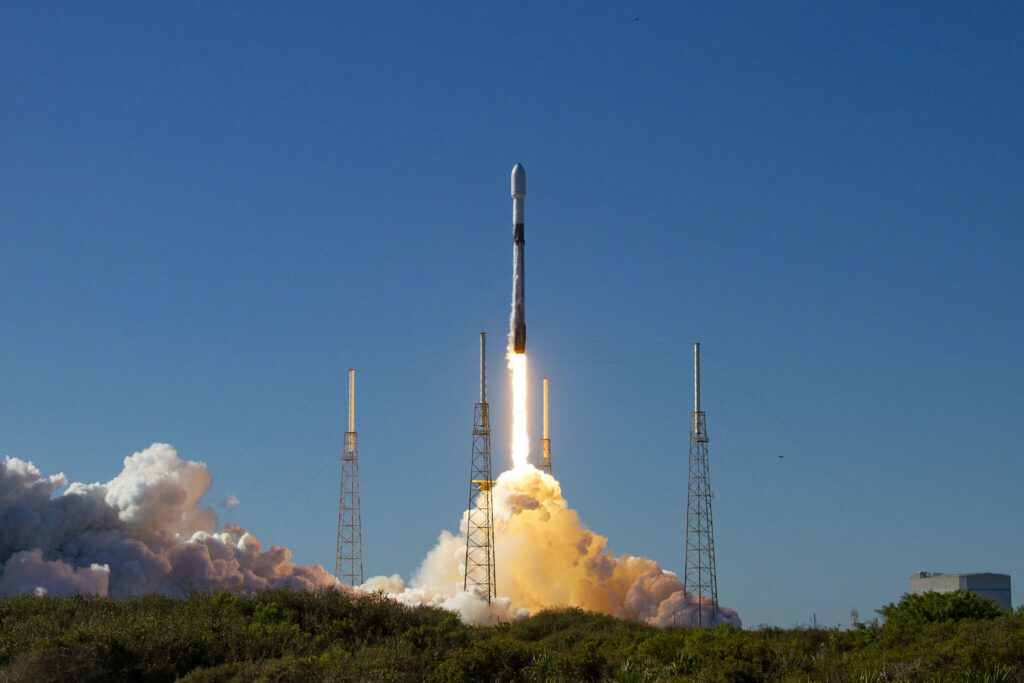
Published on Thu, 13.01.2022 – 20:28 CET in Missions, covering OroraTechAt 16:25 CET, a Falcon 9 from SpaceX took off from Space Launch Complex 40 in Florida. One of the 105 payloads on board the Smallsat Rideshare Mission Transporter-3 was FOREST-1 - a cubesat for early detection of wildfires. One hour and seven minutes after launch, the SpaceX control center announced: "OroraTech deployment confirmed.
Space technology for urgent problem on earth
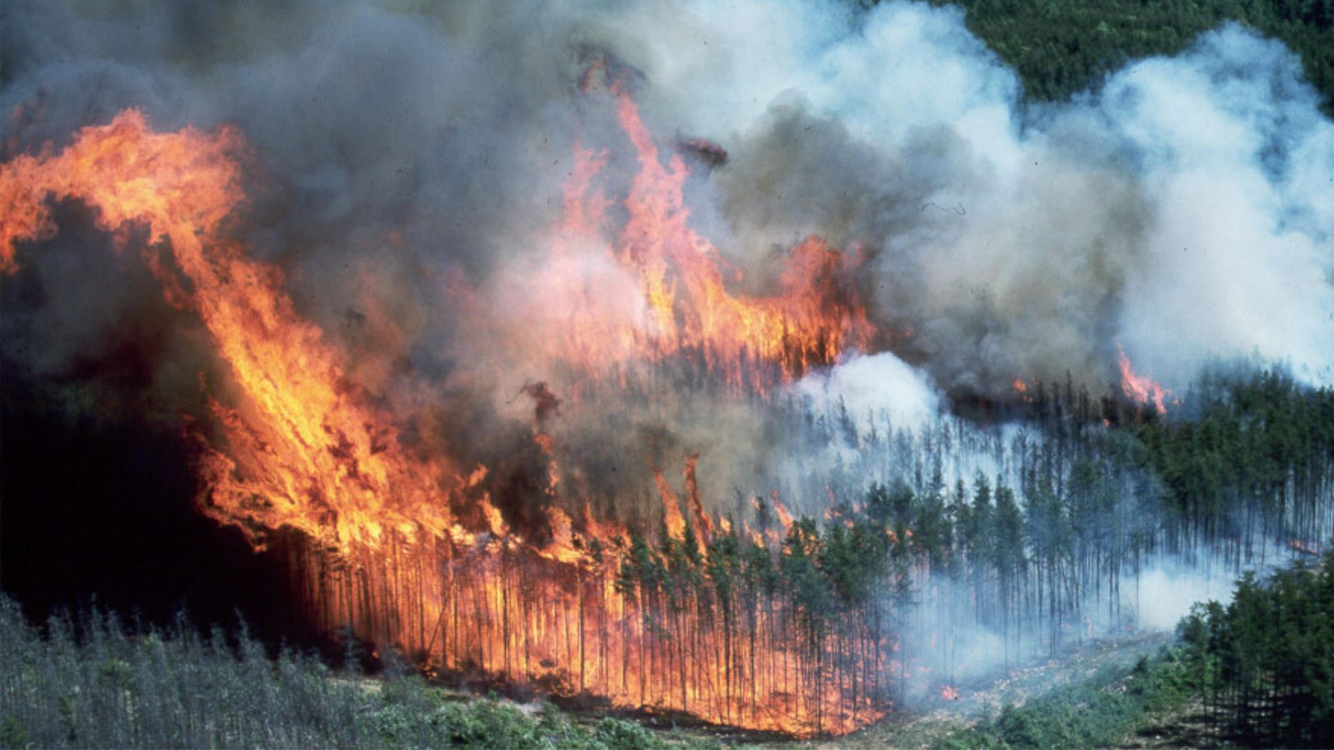
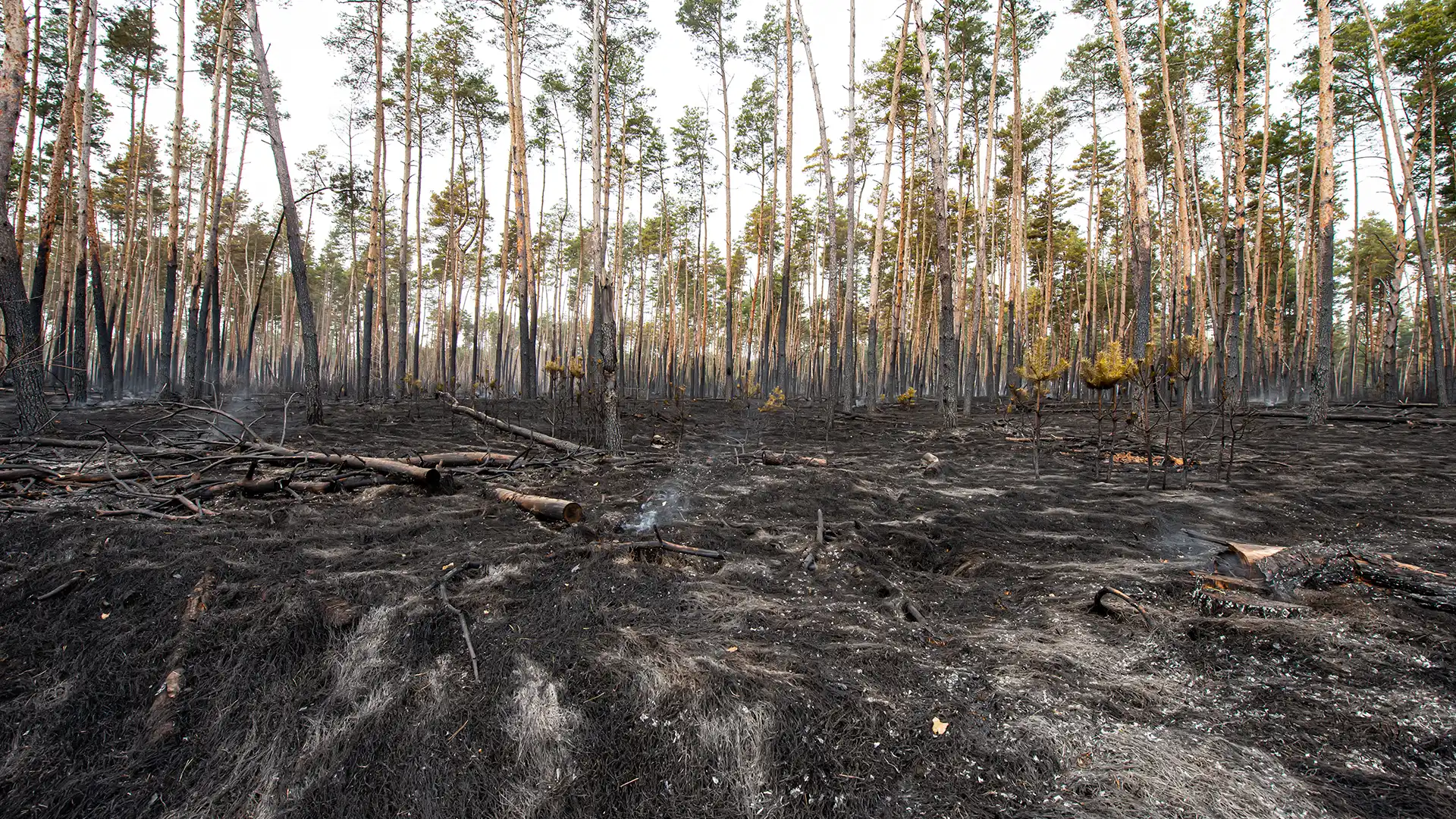
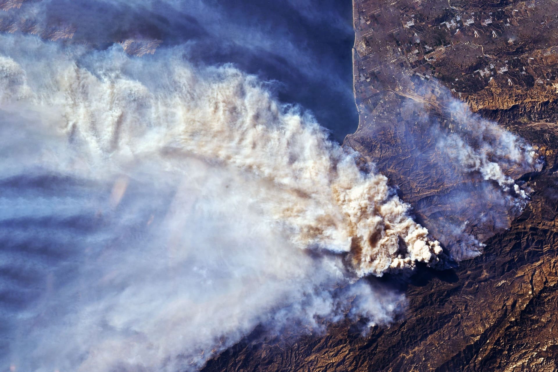
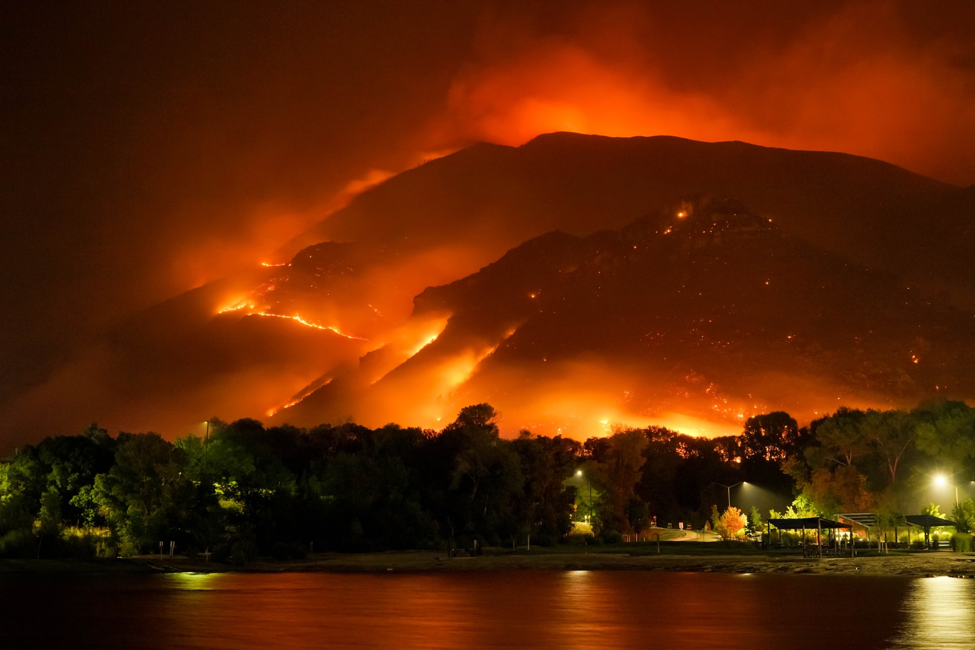
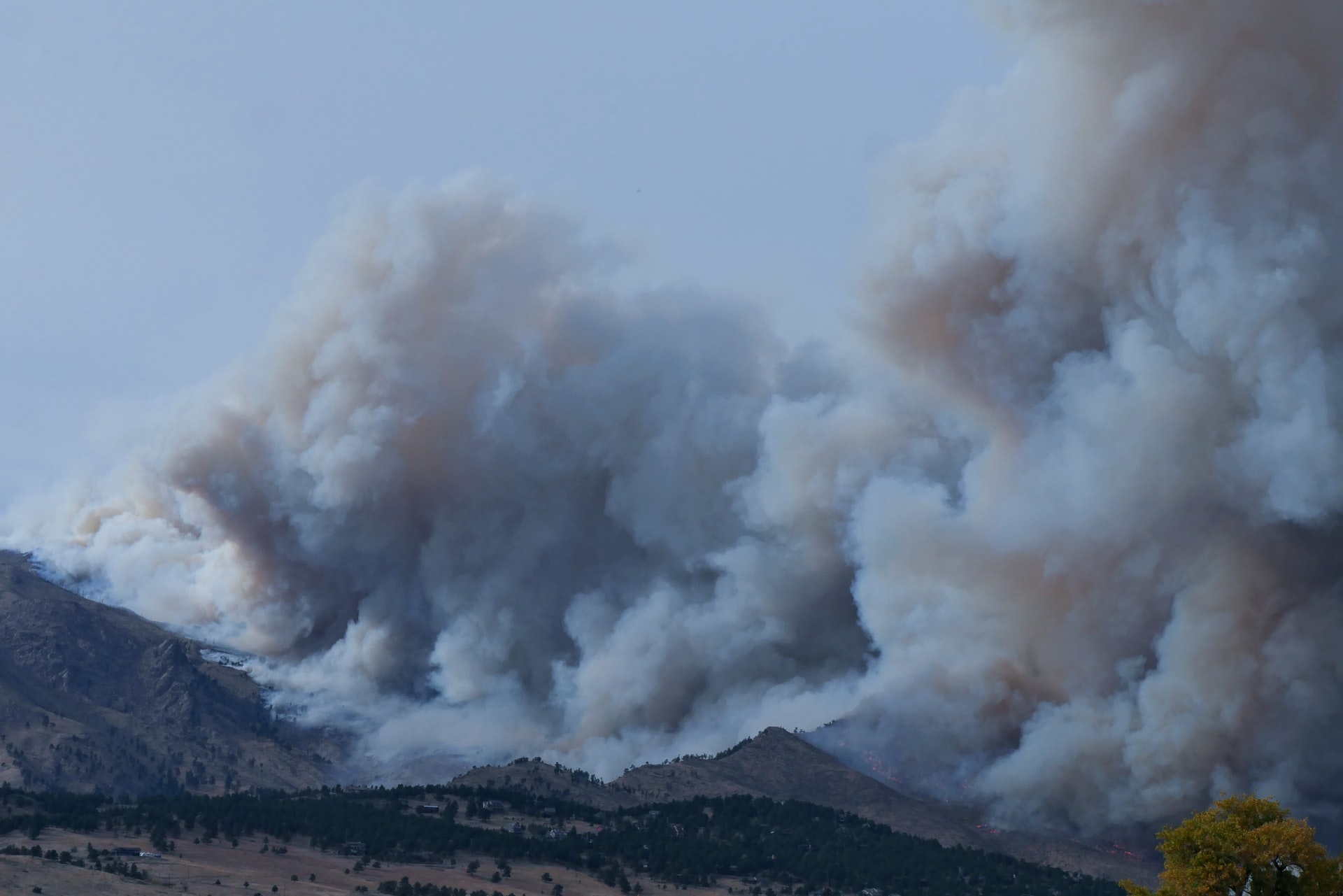
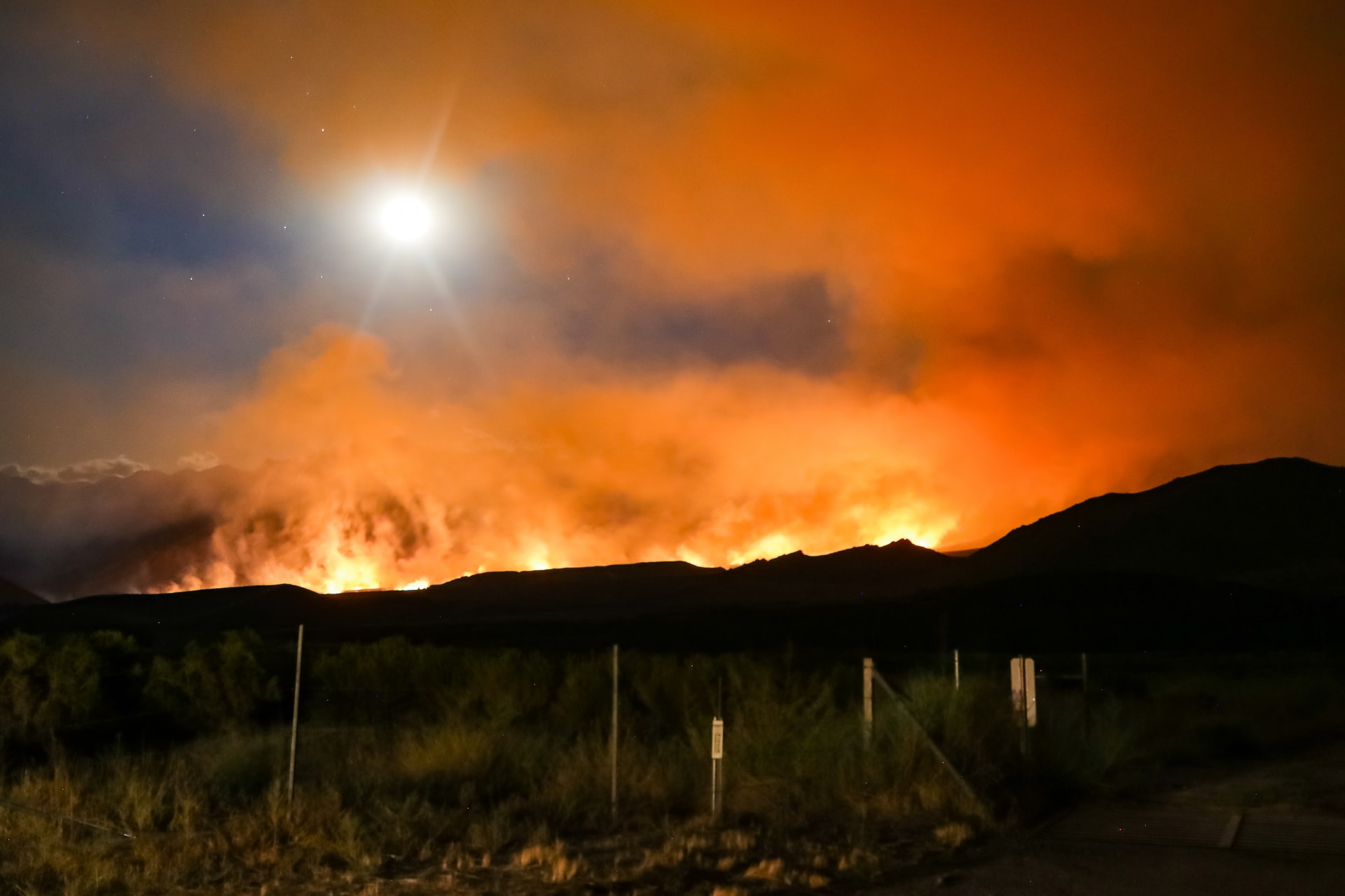
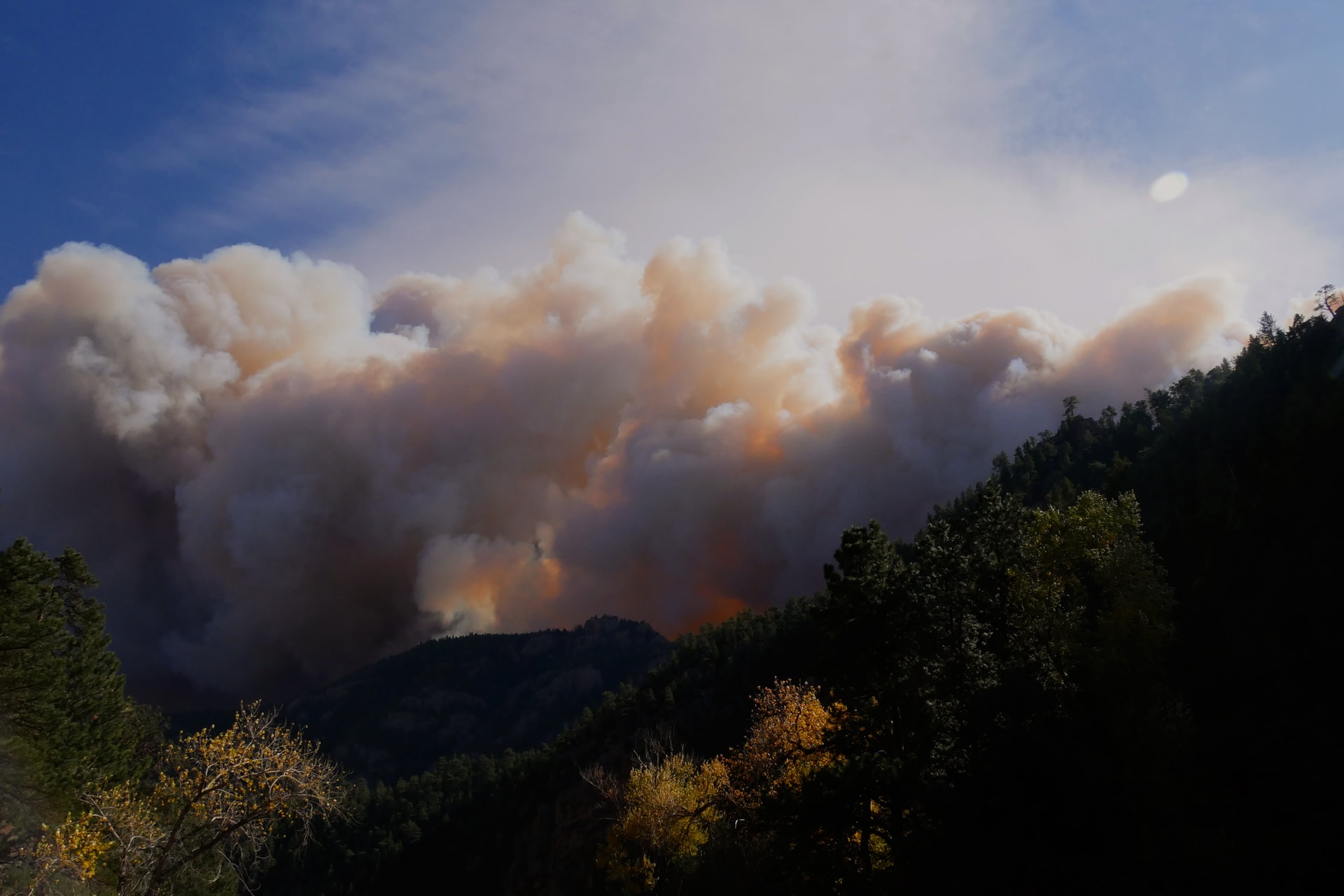
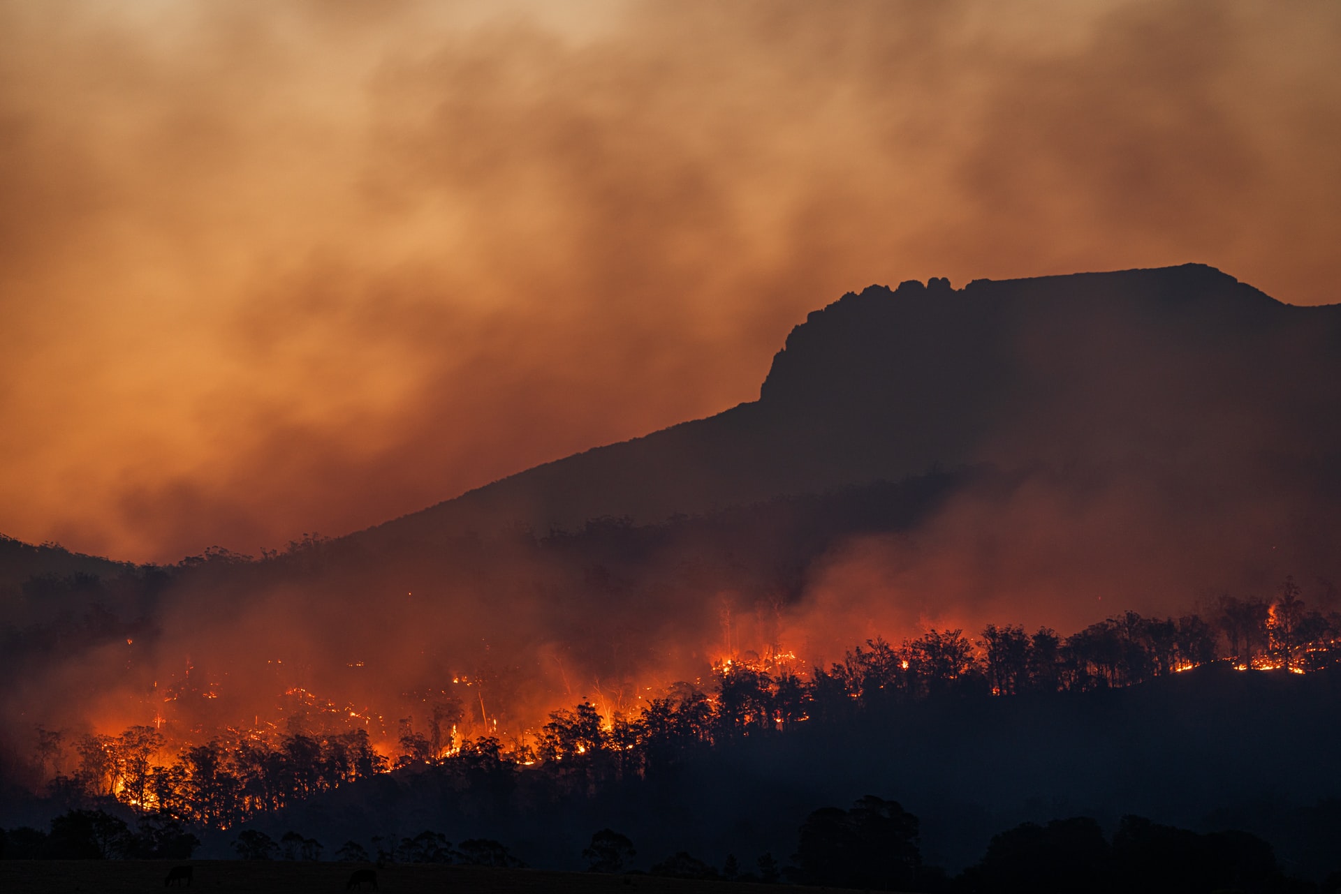
From December 30, 2021, the most devastating fire in the history of the US state raged in Colorado. In just 2 days, the flames destroyed nearly 1,000 buildings and caused US$1 billion in damage. Such natural disasters also increase climate change, as wildfires release several gigatons of the greenhouse gas CO2 every year. With its own infrared cameras in orbit, OroraTech now wants to detect the onset of wildfires at the earliest possible stage. In addition, remote areas can be monitored in real time. This will allow risk analyses of affected areas to be carried out much more precisely, thus preventing numerous fires, says Thomas Gruebler, co-founder and CEO of the Munich-based company. But the launch of the company's first satellite is just the beginning.
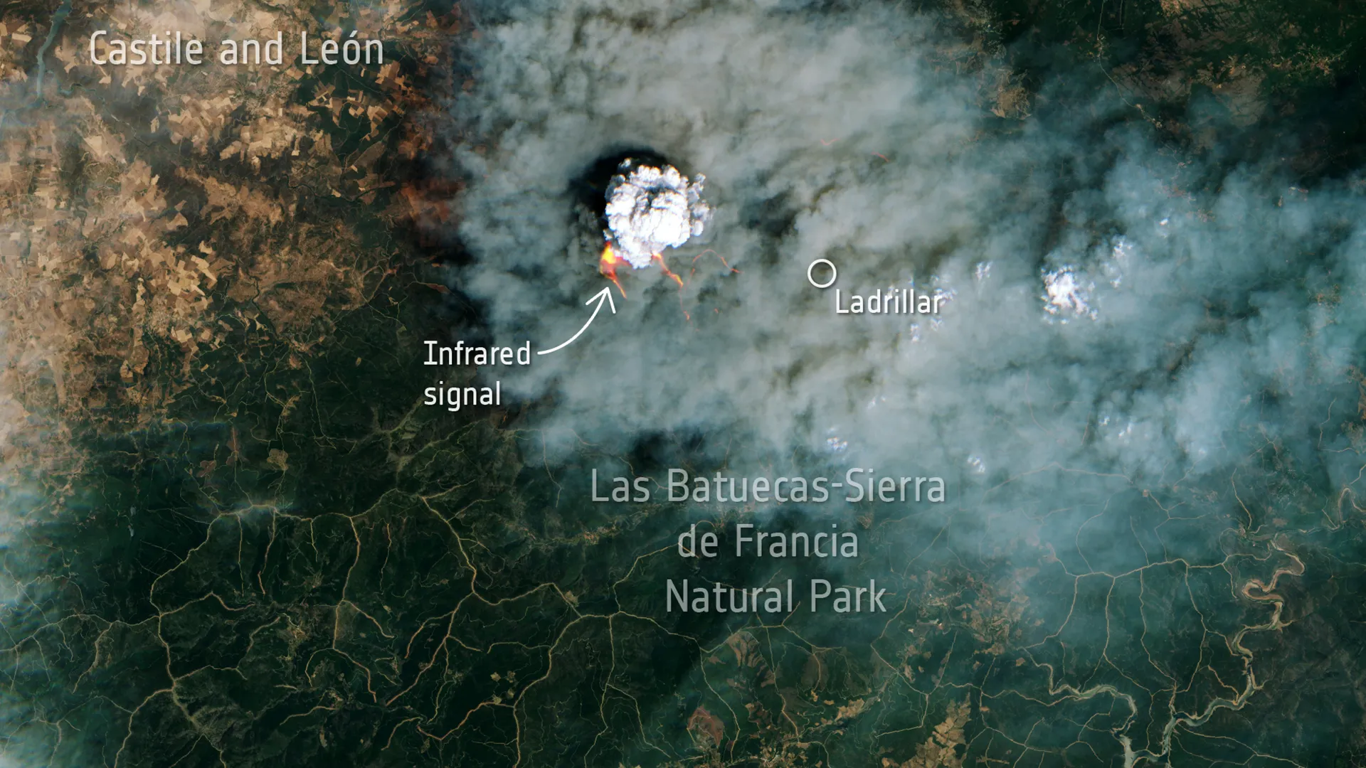
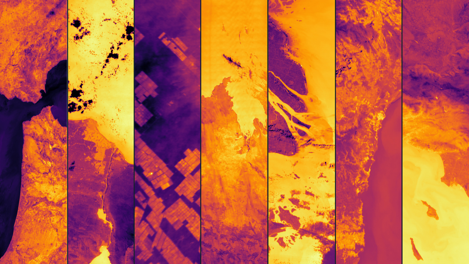
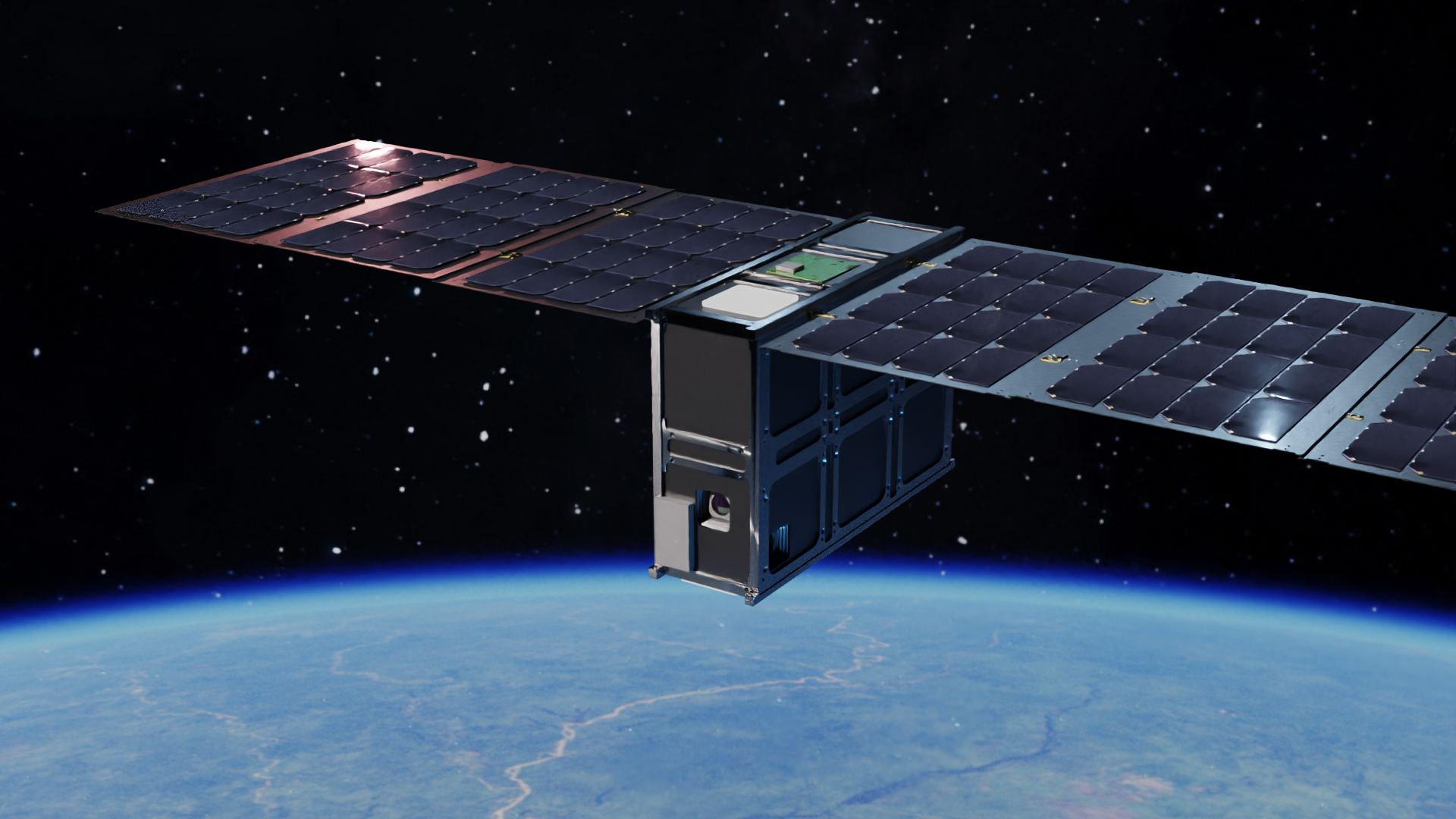
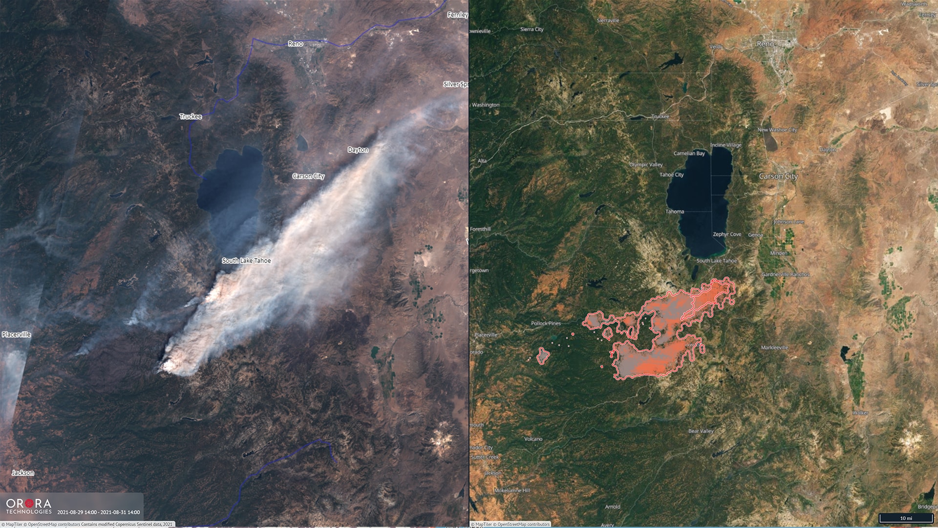
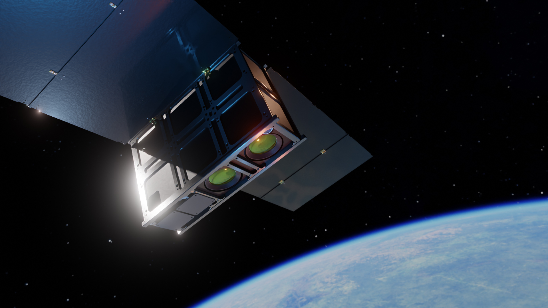
With the launch of the Falcon 9 rocket, the U.S. space company SpaceX also brought a payload from OroraTech into space with its Transporter-3 mission. At an altitude of 525 kilometers (±25 km), a satellite about the size of a shoebox (CubeSat) will orbit the Earth and capture high-resolution thermal images of the surface. Using AI-based software, these will be analyzed directly in orbit and then sent back to Earth. This significantly reduces the time between fire detection and alert from two hours to just a few minutes. Valuable time to avert threats and prevent damage.
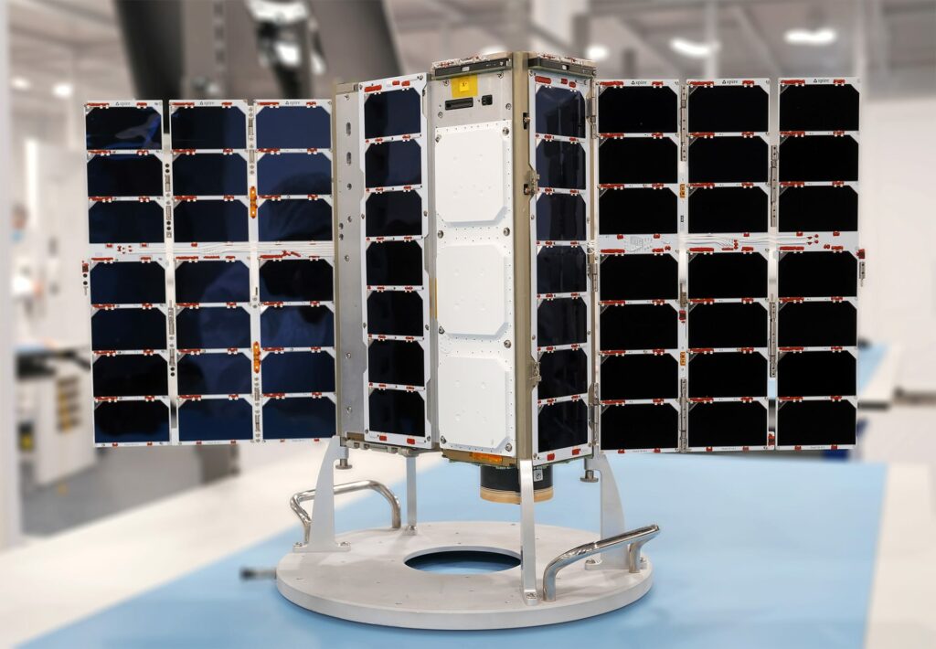
Space high-tech "Made in Munich" - compact and cutting-edge
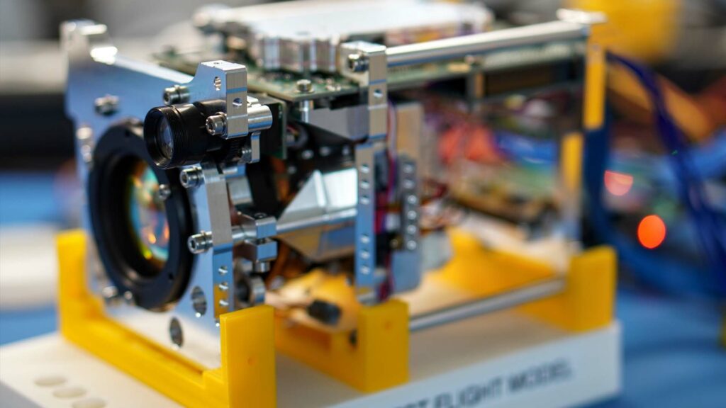
The essential precondition for such reliable and precise predictions is perfectly operating technology. Initial tests of the specially designed infrared camera have already been successful in high-altitude research balloons. The multispectral thermal infrared imager module already has a patent pending and has been optimized for use in CubeSats. The Munich-based company is relying on cooperation with Spire, a Luxembourg-based manufacturer of small satellites. This reduces the effort required to launch satellites into space and creates capacities to focus on the development of the thermal imager.
By consistently targeting the technology for use in nanosatellites, OroraTech is achieving a fundamental change in the industry cost curve.
Wolfgang Neubert, Partner at APEX Ventures
"With the current demonstration mission, OroraTech wants to prove that the technology is suitable for use in space and that usable images can also be taken at an altitude of around 500 km. Already the first data obtained will show what will be possible in the future and pave the way for improved coverage of more accurate predictions," Neubert explains.
A decisive cost factor in the development and launch of satellites is also their size and thus their weight. In line with the principle of "the smaller and lighter, the better and cheaper," the NewSpace start-up developed a particularly compact thermal imaging camera that is the first to do without cooling at all. Instead of a satellite the size of a refrigerator, the "thermometer of planet Earth" is now housed in a CubeSat the size of a shoebox.
We capture both mid-wave and thermal infrared radiation with our technology from a high distance. We analyze the collected data with our GPU-accelerated onboard processing module in orbit and thus detect characteristic temperature signatures already in space. Our AI-based software ensures that distinctively detected wildfires are reported immediately.
Thomas Gruebler, CEO & Co-founder OroraTech
However, a valid forecast of wildfire danger or the course of a wildfire can only be derived from a large number of data points. To obtain these, an entire swarm of satellites - a constellation - is necessary. In a sun-synchronous orbit, the individual CubeSats always fly over an area at the same local time, several times a day in the long term. The first satellite launched now is to be followed by others as early as the fourth quarter of 2022. By the end of 2023, the minimum viable constellation (MVC) with a total of eight CubeSats on a single pane should be in orbit. This will enable OroraTech to take thermal images even in the afternoon and usefully supplement existing data from, for example, Copernicus, the European Earth observation program. This is because although the main fire season for forest fires is between 2 p.m. and 6 p.m., this time window, which is relevant for early detection, has hardly been covered so far. Thomas Gruebler's team is now closing this gap in the available data and at the same time decisively improving the data-cost ratio.
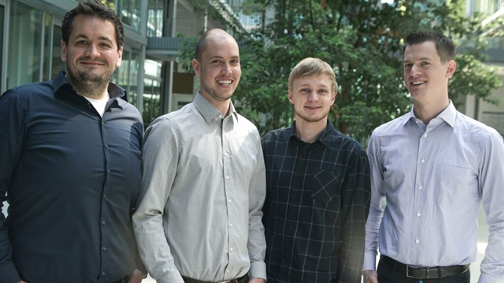
"OroraTech is dedicated to a global topic on a large scale," Florian Erber, Managing Partner & Founder of Ananda Impact Ventures, is enthusiastic. "Due to its high scalability, OroraTech is also extremely interesting for investors like us. We believe that the solution portfolio will have a strong impact - both economically and socially, but especially in the fight against climate change." This is also emphasized by Christian Federspiel of Findus Venture: "The data has immense value. People and animals will benefit from it. OroraTech will become even more interesting for investors because of this unique information."
German solution for a global issue
The effects of global warming can be seen, for example, in the devastating fires in North America and Australia. In August 2021 alone, fires in the northern hemisphere released 1,384.6 megatons of CO2 into the atmosphere - worldwide, it is even more per year than the entire EU causes. From December 30, 2021, the most devastating fire in the history of the US state raged in Colorado. In just 2 days, the flames destroyed nearly 1,000 buildings and caused $1 billion in damage. For this reason, OroraTech's service is not only of interest to commercial forestry, government agencies or institutions, but also to the insurance industry. After all, prompt warning leads to shorter reaction times and thus to lower losses.
People who are informed in a timely manner that a fire is becoming a hazard can keep themselves and their belongings safe. This is especially relevant for those who, due to a latent risk of wildfire, cannot take out insurance or can only do so at an incredibly high cost.
Thomas Gruebler, CEO & Co-founder OroraTech
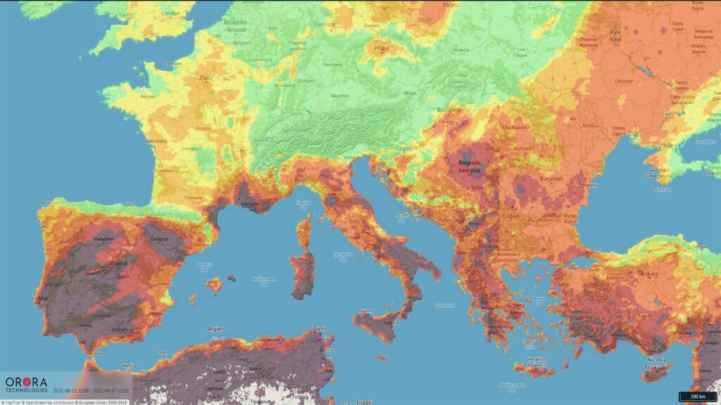
In the long term, OroraTech's satellites will not only be able to detect forest fires, but also other events that contribute to climate change. For example, gas flaring; the targeted flaring of associated petroleum gas. Often it is not economically attractive to use this by-product of oil production. So it is consistently burned, especially in remote areas, for example in offshore plants. According to the World Bank, if all gas flaring were stopped, CO2 emissions could be reduced by 400 million tonnes per year. The technology from Munich can also be used to determine the evaporation of water in the soil, which is particularly interesting for agriculture and extremely relevant with predicted increased droughts. Even the thickness of oil spills on water can be determined from orbit. So the thermometer of planet Earth can not only help locate CO2 emitters, but also take sustainability to a completely new level - with German technology from space.
via OroraTech, Interviews
